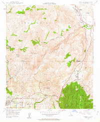
1948 Map of Temecula
USGS Topo · Published 1963About this map
Temecula and the high country of the Santa Rosa Mountains define this mid-century survey of the inland corridor between Riverside and San Diego counties. The landscape is characterized by a series of ranching operations and small settlements, including Marchant Ranch, King Ranch, and the community of Rainbow. At the southern edge of the sheet, the northern residential streets of Fallbrook begin to appear along Gum Tree Lane.
Find a feature on this map
36 named features on this map. Tap any name to fly to it.
Don’t see what you’re looking for? This feature index may not catch every label — zoom into the map to look around manually.
Map Details
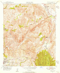
Editions of this 1948 Temecula Map
2 editions found
Other maps of this area

1901 · Southern California Sheet No. 1
USGS Topo · 1:250,000

1901 · Elsinore
USGS Topo · 1:125,000

1901 · San Luis Rey
USGS Topo · 1:125,000

1904 · Southern California Sheet No. 2
USGS Topo · 1:250,000

1904 · Southern California Sheet No. 1
USGS Topo · 1:250,000

1941 · Margarita Peak
USGS Topo · 1:62,500

1942 · Lake Elsinore
USGS Topo · 1:62,500

1942 · Margarita Peak
USGS Topo · 1:62,500

1942 · Temecula
USGS Topo · 1:62,500

1942 · Murrieta
USGS Topo · 1:62,500