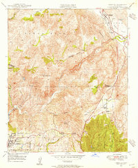
1948 Map of Temecula
USGS Topo · Published 1955About this map
Temecula and Fallbrook anchor this mid-century survey of the inland corridor between Riverside and San Diego Counties. The landscape is defined by the steep descent of the Santa Margarita River, which carves through the canyon terrain below the Santa Rosa range. This era of the region’s development is characterized by a series of working ranch properties, including Swanguen Ranch, King Ranch, and the Royal Oak Ranch, alongside the emerging agricultural footprint of the Rainbow Valley. Evidence of early community infrastructure is visible through landmarks such as the Vallecitos Sch and the Red Mountain Guard Sta. Notable peaks like Gavilan Mountain and Monserate Mountain rise above the drainage systems of Rainbow Creek and Rice Canyon, providing a clear record of the topography before significant suburban expansion.
Find a feature on this map
37 named features on this map. Tap any name to fly to it.
Don’t see what you’re looking for? This feature index may not catch every label — zoom into the map to look around manually.
Map Details
Editions of this 1948 Temecula Map
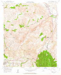
2 editions found
Other maps of this area

1901 · Southern California Sheet No. 1
USGS Topo · 1:250,000

1901 · Elsinore
USGS Topo · 1:125,000

1901 · San Luis Rey
USGS Topo · 1:125,000

1904 · Southern California Sheet No. 2
USGS Topo · 1:250,000

1904 · Southern California Sheet No. 1
USGS Topo · 1:250,000

1941 · Margarita Peak
USGS Topo · 1:62,500

1942 · Lake Elsinore
USGS Topo · 1:62,500

1942 · Margarita Peak
USGS Topo · 1:62,500

1942 · Temecula
USGS Topo · 1:62,500

1942 · Murrieta
USGS Topo · 1:62,500