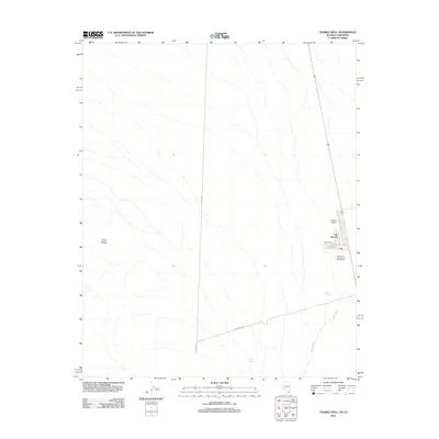
2012 Map of Tenmile Well
USGS Topo · Published 2012About this map
Cal-Nev-Ari occupies a unique position in the high desert near the southern tip of Nevada, defined by its role as a small residential and aviation community. This early 21st-century survey highlights the tight cluster of named streets like Apache Rd and Cheyenne Rd adjacent to the Kidwell Airport, underscoring the town's origins as a fly-in settlement. The surrounding landscape is dominated by the broad drainage of the Piute Wash and the rising slopes of the Piute Range to the west.
Find a feature on this map
12 named features on this map. Tap any name to fly to it.
Don’t see what you’re looking for? This feature index may not catch every label — zoom into the map to look around manually.
Map Details
Editions of this 2012 Tenmile Well Map
This is the sole edition of this map. No revisions or reprints were ever made.
Other maps of this area

1886 · Camp Mohave
USGS Topo · 1:250,000

1892 · Camp Mohave
USGS Topo · 1:250,000

1910 · Ivanpah
USGS Topo · 1:250,000

1912 · Ivanpah
USGS Topo · 1:250,000

1926 · Mohave City
USGS Topo · 1:96,000

1942 · Camp Mohave
USGS Topo · 1:250,000

1942 · Ivanpah
USGS Topo · 1:250,000

1947 · Kingman
USGS Topo · 1:250,000

1948 · Kingman
USGS Topo · 1:250,000

1954 · Kingman
USGS Topo · 1:250,000