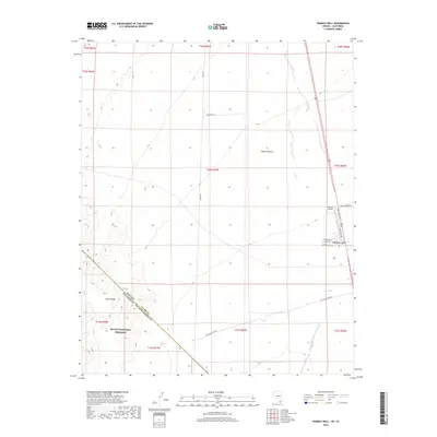
2018 Map of Tenmile Well
USGS Topo · Published 2018About this map
Cal-Nev-Ari serves as a small desert outpost at the intersection of Nevada, California, and the Arizona borderlands. This high-desert terrain is defined by the Piute Range to the west and the expansive Piute Wash which drains through the lower elevations of the Mojave Desert. The presence of Kidwell Airport and various localized roads such as Aztec Rd and Cheyenne Rd indicate the community's role as a transit point. In the southwestern corner, the map crosses into the Mojave National Preserve, where the state boundary between Nevada and California meets the line between San Bernardino and Clark counties. Historical land use is suggested by the Old Homestead Rd and the namesake Tenmile Well, which provide evidence of earlier water management and settlement patterns in this arid corridor.
Find a feature on this map
28 named features on this map. Tap any name to fly to it.
Don’t see what you’re looking for? This feature index may not catch every label — zoom into the map to look around manually.
Map Details
Editions of this 2018 Tenmile Well Map
This is the sole edition of this map. No revisions or reprints were ever made.
Other maps of this area

1886 · Camp Mohave
USGS Topo · 1:250,000

1892 · Camp Mohave
USGS Topo · 1:250,000

1910 · Ivanpah
USGS Topo · 1:250,000

1912 · Ivanpah
USGS Topo · 1:250,000

1926 · Mohave City
USGS Topo · 1:96,000

1942 · Camp Mohave
USGS Topo · 1:250,000

1942 · Ivanpah
USGS Topo · 1:250,000

1947 · Kingman
USGS Topo · 1:250,000

1948 · Kingman
USGS Topo · 1:250,000

1954 · Kingman
USGS Topo · 1:250,000