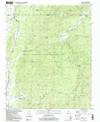
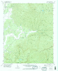
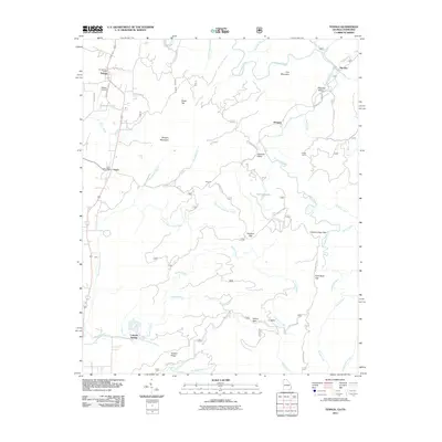
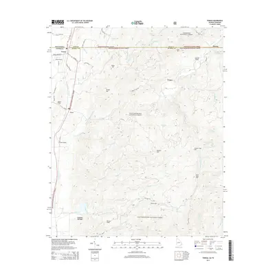
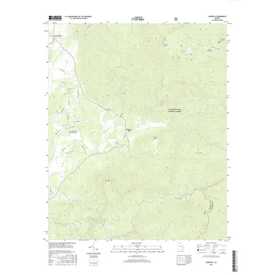
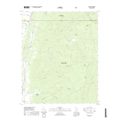
1997 Map of Tennga
USGS Topo · Published 2000About this map
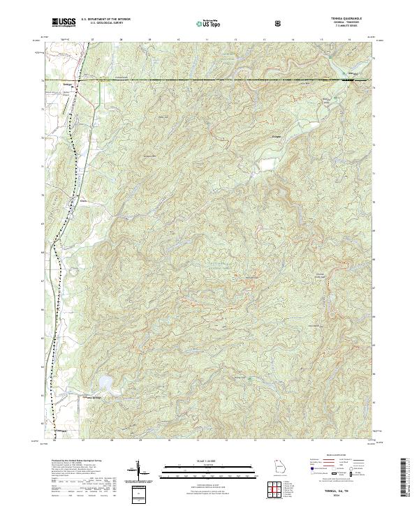
The Tennessee Georgia state line cuts across the northern reaches of this territory, where the settlement of Tennga sits at the junction of the L & N RR and regional roadways. The landscape is defined by the transitions between the valley floor and the protected highlands of the Cherokee National Forest and Chattahoochee National Forest. This survey captures a network of small mountain communities and rural landmarks, including Cisco and Crandall, anchored by local congregations such as Liberty Ch and Summerour Ch.
Find a feature on this map
60 named features on this map. Tap any name to fly to it.
Don’t see what you’re looking for? This feature index may not catch every label — zoom into the map to look around manually.
Map Details
Editions of this 1997 Tennga Map
This is the sole edition of this map. No revisions or reprints were ever made.
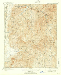
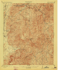
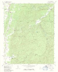
Historical Maps of Cisco Through Time
33 maps found
1911 Cohutta Mountain
Murray County, GA
1913 Cuhutta
Murray County, GA
1968 Tennga
Murray County, GA
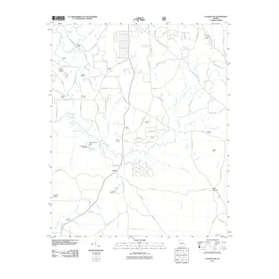
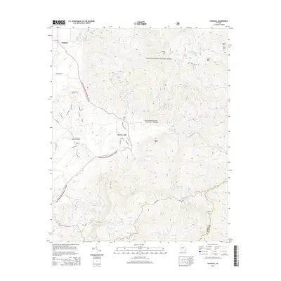
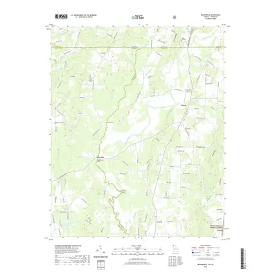
1971 Crandall
Murray County, GA
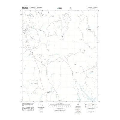
1971 Ramhurst
Murray County, GA
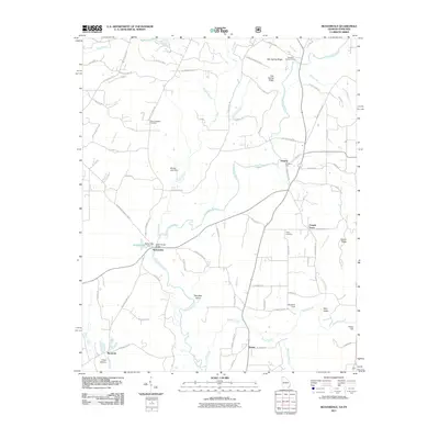
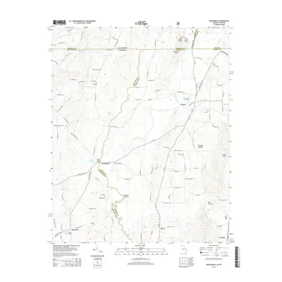
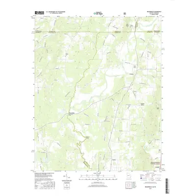
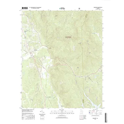
1972 Beaverdale
Murray County, GA
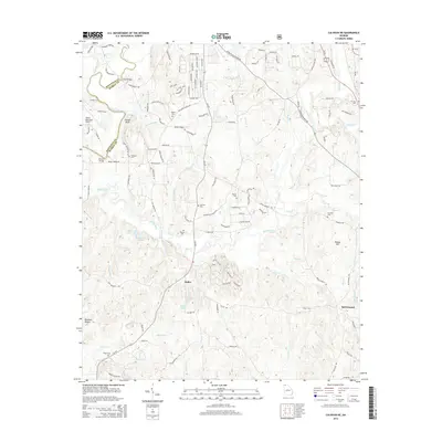
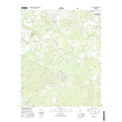
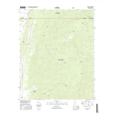
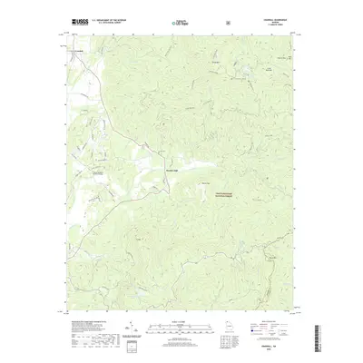
1972 Calhoun NE
Murray County, GA
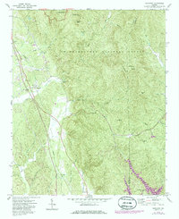
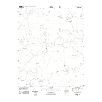
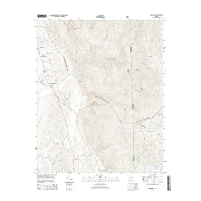
1997 Tennga
Murray County, GA
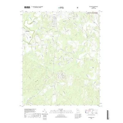
2011 Beaverdale
Murray County, GA
2011 Calhoun NE
Murray County, GA
2011 Crandall
Murray County, GA
2011 Ramhurst
Murray County, GA
2011 Tennga
Murray County, GA
2014 Beaverdale
Murray County, GA
2014 Calhoun NE
Murray County, GA
2014 Crandall
Murray County, GA
2014 Ramhurst
Murray County, GA
2014 Tennga
Murray County, GA
2017 Beaverdale
Murray County, GA
2017 Calhoun NE
Murray County, GA
2017 Crandall
Murray County, GA
2017 Ramhurst
Murray County, GA
2017 Tennga
Murray County, GA
2020 Beaverdale
Murray County, GA
2020 Calhoun NE
Murray County, GA
2020 Crandall
Murray County, GA
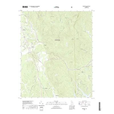
2020 Ramhurst
Murray County, GA
2020 Tennga
Murray County, GA
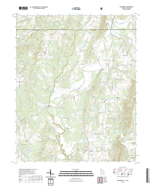
2024 Beaverdale
Murray County, GA
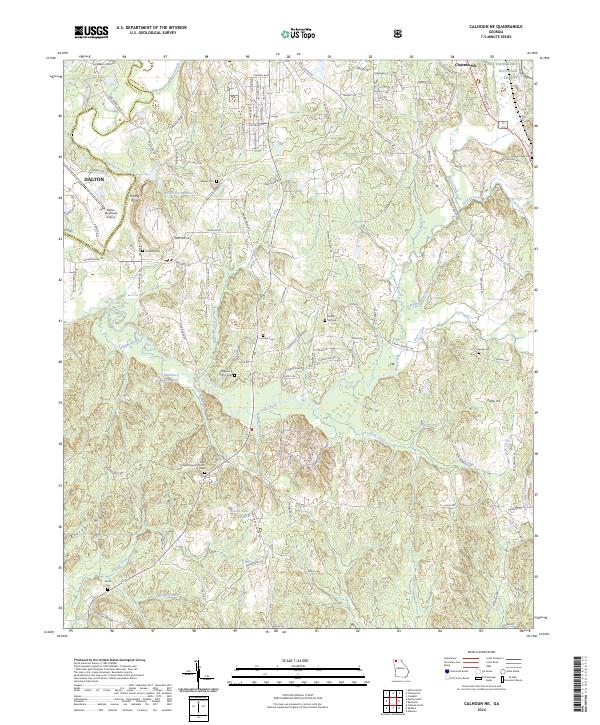
2024 Calhoun NE
Murray County, GA
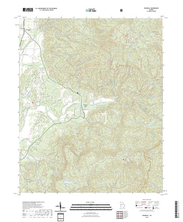
2024 Crandall
Murray County, GA
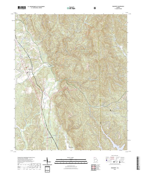
2024 Ramhurst
Murray County, GA
2024 Tennga
Murray County, GA