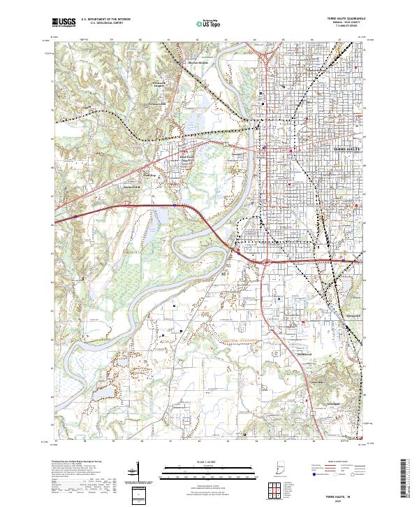
2022 Map of Terre Haute
USGS Topo · Published 2022About this map
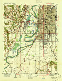
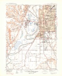
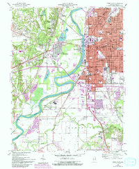
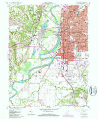
The Wabash River bisects this study of the Wabash Valley, separating the dense urban core of Terre Haute from western neighborhoods and the lowlands of the Wabashiki Trails Trl. The map details the institutional heart of the city, including the Vigo County Court House and the Indiana State University campus. Residential expansion is evident in the sprawling street grids of Twelve Points to the north and Allendale to the south, while smaller settlements like Toad Hop and Dresser occupy the river's western banks.
Find a feature on this map
58 named features on this map. Tap any name to fly to it.
Don’t see what you’re looking for? This feature index may not catch every label — zoom into the map to look around manually.
Map Details
Editions of this 2022 Terre Haute Map
This is the sole edition of this map. No revisions or reprints were ever made.
Historical Maps of Allendale Through Time
6 maps found