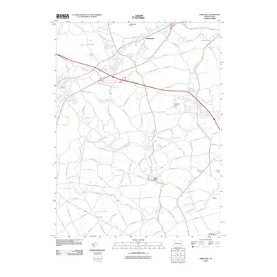
2010 Map of Terre Hill
USGS Topo · Published 2010About this map
Terre Hill and Adamstown anchor this survey of northeastern Lancaster County, where the landscape transitions from the elevated Adamstown Ridge toward the fertile drainage of the Conestoga River. The map reveals a dense network of rural roads that connect small settlements like Reidenbach and Goodville, illustrating the persistent agricultural and small-town character of this region. Notable watercourses including Little Muddy Creek and Black Creek wind through the valleys, punctuated by long-established landmarks such as Salem Cemetery and Lichty Cemetery. The inclusion of the Hawk Valley Public Golf Course and modern thoroughfares like Stone Hill Rd reflects the 21st-century development overlaying the area's traditional farming roots. In the southeast, Turkey Hill stands as a prominent terrain feature near the convergence of local tributaries.
Find a feature on this map
98 named features on this map. Tap any name to fly to it.
Don’t see what you’re looking for? This feature index may not catch every label — zoom into the map to look around manually.
Map Details
Editions of this 2010 Terre Hill Map
This is the sole edition of this map. No revisions or reprints were ever made.
Other maps of this area

1894 · Reading
USGS Topo · 1:62,500

1902 · Wernersville
USGS Topo · 1:62,500

1905 · Honey Brook
USGS Topo · 1:62,500

1906 · New Holland
USGS Topo · 1:62,500

1907 · Honeybrook
USGS Topo · 1:62,500

1908 · New Holland
USGS Topo · 1:62,500

1913 · Reading
USGS Topo · 1:62,500

1915 · Reading
USGS Topo · 1:62,500

1941 · Honeybrook
USGS Topo · 1:62,500

1941 · New Holland
USGS Topo · 1:62,500