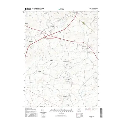
2016 Map of Terre Hill
USGS Topo · Published 2016About this map
The Conestoga River and its numerous tributaries, including Muddy Creek and Little Muddy Cr, define the agricultural and residential landscape of this section of Lancaster and Berks Counties. Established settlements such as Adamstown, Terre Hill, and Bowmansville are connected by a network of historic routes like Adamstown Rd and Bowmansville Rd. The area's deep-rooted community history is visible through scattered landmarks like Gehmans Mennonite Ch and several burial grounds, including Cedar Grove Cem and Lichty Cem. Small clusters such as Fivepointville, Martindale, and Weaverland represent the traditional crossroads development of the Pennsylvania Dutch Country. The terrain rises significantly along Adamstown Ridge and Turkey Hill toward the northeast, where the boundary between Berks and Lancaster counties is established near Knauers.
Find a feature on this map
106 named features on this map. Tap any name to fly to it.
Don’t see what you’re looking for? This feature index may not catch every label — zoom into the map to look around manually.
Map Details
Editions of this 2016 Terre Hill Map
This is the sole edition of this map. No revisions or reprints were ever made.
Other maps of this area

1894 · Reading
USGS Topo · 1:62,500

1902 · Wernersville
USGS Topo · 1:62,500

1905 · Honey Brook
USGS Topo · 1:62,500

1906 · New Holland
USGS Topo · 1:62,500

1907 · Honeybrook
USGS Topo · 1:62,500

1908 · New Holland
USGS Topo · 1:62,500

1913 · Reading
USGS Topo · 1:62,500

1915 · Reading
USGS Topo · 1:62,500

1941 · Honeybrook
USGS Topo · 1:62,500

1941 · New Holland
USGS Topo · 1:62,500