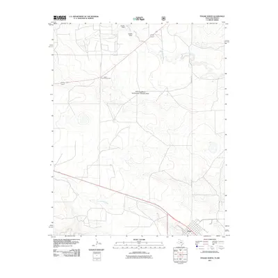
2011 Map of Texline North
USGS Topo · Published 2011About this map
Texline anchors the southeastern corner of this High Plains landscape, where the Texas and New Mexico border meets. The town’s grid, featuring streets like Marion St and Pine St, sits alongside the rail corridor that defines the local economy. Much of the surrounding area is dedicated to the Rita Blanca National Grassland, a conservation landscape characterized by ephemeral drainages such as Junkyard Creek and East Rita Blanca Creek.
Find a feature on this map
17 named features on this map. Tap any name to fly to it.
Don’t see what you’re looking for? This feature index may not catch every label — zoom into the map to look around manually.
Map Details
Editions of this 2011 Texline North Map
This is the sole edition of this map. No revisions or reprints were ever made.
Other maps of this area
1954 · Dalhart
USGS Topo · 1:250,000
1958 · Dalhart
USGS Topo · 1:250,000
1962 · Dalhart
USGS Topo · 1:250,000
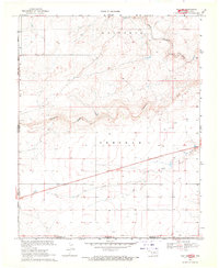
1969 · Felt SW
USGS Topo · 1:24,000
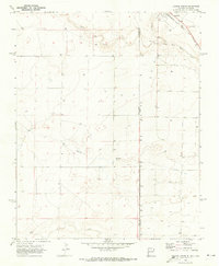
1970 · Texline South
USGS Topo · 1:24,000
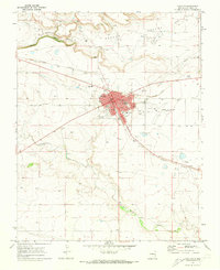
1970 · Clayton
USGS Topo · 1:24,000
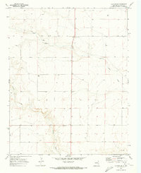
1970 · Clayton SW
USGS Topo · 1:24,000
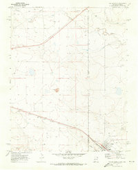
1970 · Texline North
USGS Topo · 1:24,000
1972 · Rardin Hill
USGS Topo · 1:24,000
1972 · Rabbit Ear Mountain
USGS Topo · 1:24,000