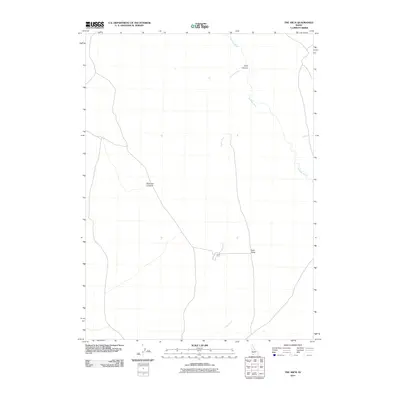
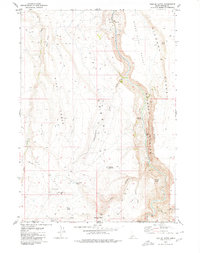
2010 Map of The Arch
USGS Topo · Published 2010About this map
Jarbidge River carves through this high desert plateau in Owyhee County, defining a landscape of deep canyons and prominent mesas. The terrain is marked by significant elevation changes, most notably at Arch Canyon and the neighboring Arch Table, where the river and Cougar Creek have shaped the earth over millennia.
Find a feature on this map
6 named features on this map. Tap any name to fly to it.
Don’t see what you’re looking for? This feature index may not catch every label — zoom into the map to look around manually.
Map Details
Editions of this 2010 The Arch Map
This is the sole edition of this map. No revisions or reprints were ever made.
Other maps of this area

1955 · Twin Falls
USGS Topo · 1:250,000

1958 · Twin Falls
USGS Topo · 1:250,000

1978 · The Arch
USGS Topo · 1:24,000

1979 · Cowan Reservoir
USGS Topo · 1:24,000

1979 · Indian Hot Springs
USGS Topo · 1:24,000
1979 · Triguero Lake
USGS Topo · 1:24,000
1979 · Dishpan
USGS Topo · 1:24,000

1979 · Clover Butte South
USGS Topo · 1:24,000
1979 · Poison Butte
USGS Topo · 1:24,000
1979 · Triplet Butte
USGS Topo · 1:24,000