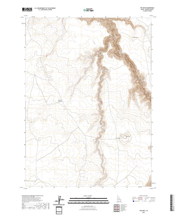
2023 Map of The Arch
USGS Topo · Published 2023About this map
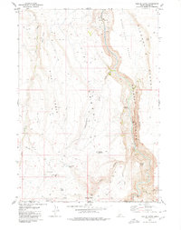
Bruneau-Jarbidge Rivers Wilderness protects a significant portion of this high-desert landscape in Owyhee County, centered on the deep carving of the Jarbidge Wild and Scenic River. The map reveals a dramatic topography of basalt plateaus and sharp vertical relief, most notably at Arch Canyon and the prominent landmark known as The Arch. These canyons cut through the flat expanses of the Diamond A Desert and Inside Desert, where water sources like Cougar Spring and Cougar Creek are critical features in an otherwise arid environment.
Find a feature on this map
16 named features on this map. Tap any name to fly to it.
Don’t see what you’re looking for? This feature index may not catch every label — zoom into the map to look around manually.
Map Details
Editions of this 2023 The Arch Map
This is the sole edition of this map. No revisions or reprints were ever made.
Other maps of this area

1955 · Twin Falls
USGS Topo · 1:250,000

1958 · Twin Falls
USGS Topo · 1:250,000

1978 · The Arch
USGS Topo · 1:24,000

1979 · Cowan Reservoir
USGS Topo · 1:24,000

1979 · Indian Hot Springs
USGS Topo · 1:24,000
1979 · Triguero Lake
USGS Topo · 1:24,000
1979 · Dishpan
USGS Topo · 1:24,000

1979 · Clover Butte South
USGS Topo · 1:24,000
1979 · Poison Butte
USGS Topo · 1:24,000
1979 · Triplet Butte
USGS Topo · 1:24,000