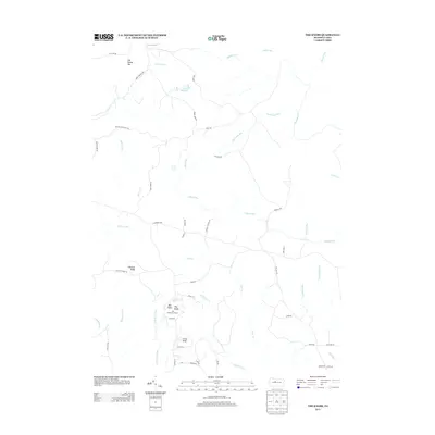
2013 Map of The Knobs
USGS Topo · Published 2013About this map
The Knobs Fire Tower stands as a primary landmark in this upland portion of Clearfield County, overlooking a landscape defined by sharp elevation changes and numerous watercourses. The high points of Big Knob, Little Knob, and Old Round Top anchor the terrain, while the extensive Chestnut Ridge runs through the central portion of the map. This area is heavily dissected by drainage systems, including the substantial Gifford Run and Mosquito Cr, alongside smaller features like Duck Marshes and Jack Dent Br.
Find a feature on this map
55 named features on this map. Tap any name to fly to it.
Don’t see what you’re looking for? This feature index may not catch every label — zoom into the map to look around manually.
Map Details
Editions of this 2013 The Knobs Map
This is the sole edition of this map. No revisions or reprints were ever made.
Other maps of this area

1929 · Karthaus
USGS Topo · 1:62,500

1929 · Clearfield
USGS Topo · 1:48,000

1932 · Clearfield
USGS Topo · 1:62,500

1932 · Karthaus
USGS Topo · 1:62,500

1941 · Benezette
USGS Topo · 1:62,500

1943 · Benezette
USGS Topo · 1:62,500

1945 · Driftwood
USGS Topo · 1:48,000

1945 · Driftwood
USGS Topo · 1:24,000

1947 · Driftwood
USGS Topo · 1:24,000

1957 · Warren
USGS Topo · 1:250,000