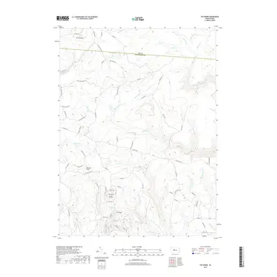
2019 Map of The Knobs
USGS Topo · Published 2019About this map
The high divide between the West Branch Susquehanna and Bennett Branch watersheds is defined by the prominent heights of The Knobs, including Big Knob and Little Knob. This 2019 survey captures the rugged upland topography where Elk and Clearfield counties meet along a serrated boundary line. The landscape is dominated by deeply incised drainage systems like Mosquito Creek and Gifford Run, while the higher plateaus are marked by Chestnut Ridge and Old Round Top. A complex network of timber and access roads, such as the Wilson Switchback Rd and the historic Caledonia Pike, winds through the dense forest cover. The mapping of Duck Marshes and various runs, including Medix Run and Deer Cr, illustrates the intricate hydrology of this mountain region, which remains largely characterized by natural terrain rather than dense settlement.
Find a feature on this map
69 named features on this map. Tap any name to fly to it.
Don’t see what you’re looking for? This feature index may not catch every label — zoom into the map to look around manually.
Map Details
Editions of this 2019 The Knobs Map
This is the sole edition of this map. No revisions or reprints were ever made.
Other maps of this area

1929 · Karthaus
USGS Topo · 1:62,500

1929 · Clearfield
USGS Topo · 1:48,000

1932 · Clearfield
USGS Topo · 1:62,500

1932 · Karthaus
USGS Topo · 1:62,500

1941 · Benezette
USGS Topo · 1:62,500

1943 · Benezette
USGS Topo · 1:62,500

1945 · Driftwood
USGS Topo · 1:48,000

1945 · Driftwood
USGS Topo · 1:24,000
1947 · Driftwood
USGS Topo · 1:24,000

1957 · Warren
USGS Topo · 1:250,000