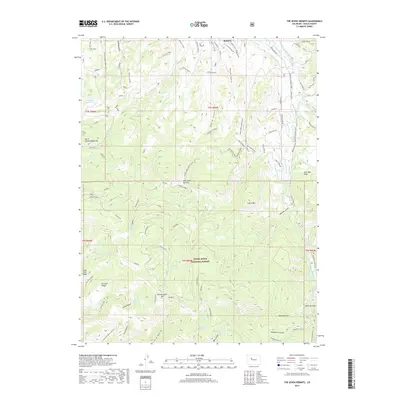
2019 Map of The Seven Hermits
USGS Topo · Published 2019About this map
The Seven Hermits stand as the central landmark of this high-altitude landscape south of Eagle, Colorado, during the late 2010s. This portion of the White River National Forest is defined by a dense network of gulches and ridges, where water management is critical to the local geography. Numerous small-scale water projects, such as McHatten Reservoir, Yates Reservoir, and the Bemis Ditch, suggest a long-standing reliance on seasonal runoff to support the region. The map reveals an intricate system of named springs like Miller Gulch Spring and Sawmill Gulch Spring, which historically provided essential water sources in this steep terrain. Modern land use is reflected in the extensive trail systems and forest roads, including the Eagle Backcountry Tour and recreational paths with contemporary names like Star Wars and World's Greatest, showing how former industrial or ranching access points have evolved into a significant outdoor recreation corridor between North Hardscrabble Mtn and Coffin Mtn.
Find a feature on this map
81 named features on this map. Tap any name to fly to it.
Don’t see what you’re looking for? This feature index may not catch every label — zoom into the map to look around manually.
Map Details
Editions of this 2019 The Seven Hermits Map
This is the sole edition of this map. No revisions or reprints were ever made.
Other maps of this area
1909 · Mount Jackson
USGS Topo · 1:125,000
1911 · Mount Jackson
USGS Topo · 1:125,000
1957 · Leadville
USGS Topo · 1:250,000
1959 · Leadville
USGS Topo · 1:250,000
1960 · Leadville
USGS Topo · 1:250,000
1961 · Toner Reservoir
USGS Topo · 1:24,000
1961 · Red Creek
USGS Topo · 1:24,000
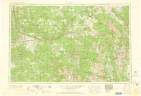
1962 · Leadville
USGS Topo · 1:250,000
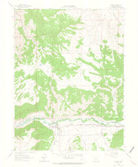
1962 · Gypsum
USGS Topo · 1:24,000
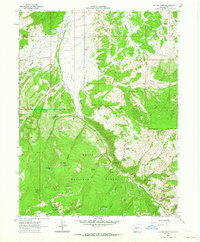
1962 · Suicide Mountain
USGS Topo · 1:24,000