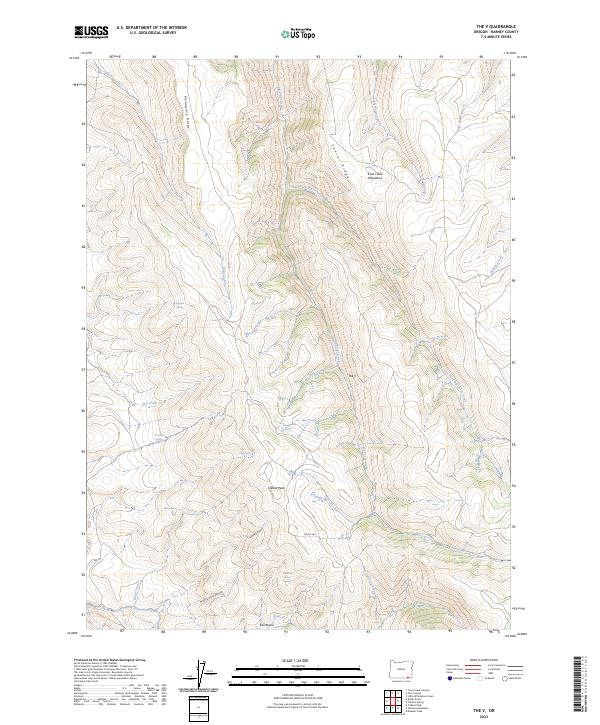
2023 Map of The V
USGS Topo · Published 2023About this map
Trout Creek Mountains dominate this high-desert landscape in southern Harney County, where steep drainage systems converge at a distinctive topographic formation known as The V. The area is characterized by a complex network of seasonal and perennial water sources, including Big Trout Creek and the East Fork Big Trout Creek, which carve deep paths through the high plateaus. High points like Mahogany Ridge and Center Ridge define the local relief, leading toward the southern terminus at the Kings River.
Find a feature on this map
32 named features on this map. Tap any name to fly to it.
Don’t see what you’re looking for? This feature index may not catch every label — zoom into the map to look around manually.
Map Details
Editions of this 2023 The V Map
This is the sole edition of this map. No revisions or reprints were ever made.
Other maps of this area

1886 · Disaster
USGS Topo · 1:250,000

1893 · Disaster
USGS Topo · 1:250,000

1954 · Vya
USGS Topo · 1:250,000

1955 · Adel
USGS Topo · 1:250,000

1957 · Adel
USGS Topo · 1:250,000

1958 · Vya
USGS Topo · 1:250,000

1958 · Adel
USGS Topo · 1:250,000

1961 · Trident Peak
USGS Topo · 1:62,500

1961 · Disaster Peak
USGS Topo · 1:62,500

1962 · Vya
USGS Topo · 1:250,000