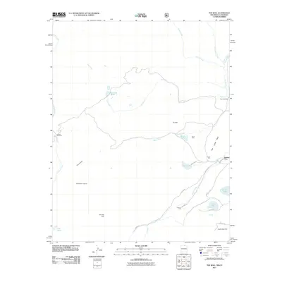
2011 Map of The Wall
USGS Topo · Published 2011About this map
The Wall and The Little Wall define the dramatic geology of this high-elevation landscape in Colfax County, where the terrain is marked by a network of drainage systems including Gold Creek, Bernal Creek, and Leandro Creek. This 2011 survey documents a mix of recreational and industrial history, from the remote Number One Camp and Bernal Cabin to the Van Lint Mine near the eastern boundary. The presence of Cressmer Lodge and numerous named lakes like Munn Lake and Bartlett Lake suggests a landscape utilized for seasonal residency and outdoor pursuits. Road access is limited to unpaved routes such as Cressmer Rd and Munn Lake Rd, which thread through the canyons and parks. In the south, Vermejo Peak rises above Cherokee Canyon, overlooking a region where high-altitude water sources like Twin Lakes and Underwood Lakes feed into the Vermejo River watershed.
Find a feature on this map
33 named features on this map. Tap any name to fly to it.
Don’t see what you’re looking for? This feature index may not catch every label — zoom into the map to look around manually.
Map Details
Editions of this 2011 The Wall Map
This is the sole edition of this map. No revisions or reprints were ever made.
Other maps of this area

1954 · Raton
USGS Topo · 1:250,000

1954 · Trinidad
USGS Topo · 1:250,000

1955 · Trinidad
USGS Topo · 1:250,000

1958 · Raton
USGS Topo · 1:250,000

1958 · Trinidad
USGS Topo · 1:250,000

1959 · Trinidad
USGS Topo · 1:250,000

1962 · Ash Mountain
USGS Topo · 1:62,500

1963 · Comanche Point
USGS Topo · 1:24,000

1963 · Big Costilla Peak
USGS Topo · 1:24,000

1967 · La Valley
USGS Topo · 1:24,000