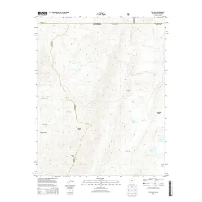
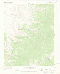
2013 Map of The Wall
USGS Topo · Published 2013About this map
Vermejo Peak and the high ridges of the Sangre de Cristo Mountains define this 2013 topographic survey along the Colorado and New Mexico state line. The landscape is marked by extreme relief and high-altitude water systems, including Underwood Lakes, Bernal Lake, and the remote Twin Lakes. These alpine environments feed several watercourses, such as Costilla Cr and the Vermejo River, which flow through steep corridors like Cherokee Canyon and Trail Canyon.
Find a feature on this map
28 named features on this map. Tap any name to fly to it.
Don’t see what you’re looking for? This feature index may not catch every label — zoom into the map to look around manually.
Map Details
Editions of this 2013 The Wall Map
This is the sole edition of this map. No revisions or reprints were ever made.
Other maps of this area

1954 · Raton
USGS Topo · 1:250,000
1954 · Trinidad
USGS Topo · 1:250,000
1955 · Trinidad
USGS Topo · 1:250,000

1958 · Raton
USGS Topo · 1:250,000
1958 · Trinidad
USGS Topo · 1:250,000
1959 · Trinidad
USGS Topo · 1:250,000
1962 · Ash Mountain
USGS Topo · 1:62,500
1963 · Comanche Point
USGS Topo · 1:24,000
1963 · Big Costilla Peak
USGS Topo · 1:24,000
1967 · La Valley
USGS Topo · 1:24,000