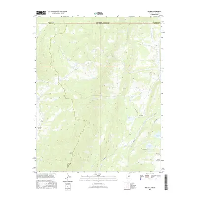
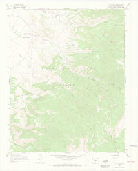
2017 Map of The Wall
USGS Topo · Published 2017About this map
Vermejo Peak and the high ridgelines of the Sangre de Cristo Mountains define this high-altitude landscape along the Colorado and New Mexico border. The survey area is a complex network of canyons and drainages, including Trail Canyon and Cherokee Canyon, that feed into the headwaters of the Vermejo River. A notable series of alpine water bodies, such as Underwood Lakes, Bernal Lake, and Munn Lake, are scattered across the northern reaches, while the dramatic formation known as The Wall stands as a prominent geological landmark. This region’s geography is shaped by its transition from the steep slopes of the Taos and Costilla county lines toward the drainage basins of the east. Remote access routes like Leandro Rd and Banning Rd navigate the lower elevations near Castle Rock Park and Bartlett Lake, indicating the area's use for ranching or forestry operations in the early 21st century.
Find a feature on this map
30 named features on this map. Tap any name to fly to it.
Don’t see what you’re looking for? This feature index may not catch every label — zoom into the map to look around manually.
Map Details
Editions of this 2017 The Wall Map
This is the sole edition of this map. No revisions or reprints were ever made.
Other maps of this area

1954 · Raton
USGS Topo · 1:250,000
1954 · Trinidad
USGS Topo · 1:250,000
1955 · Trinidad
USGS Topo · 1:250,000

1958 · Raton
USGS Topo · 1:250,000
1958 · Trinidad
USGS Topo · 1:250,000
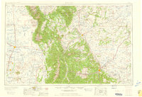
1959 · Trinidad
USGS Topo · 1:250,000
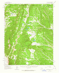
1962 · Ash Mountain
USGS Topo · 1:62,500
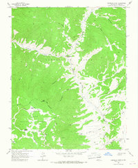
1963 · Comanche Point
USGS Topo · 1:24,000
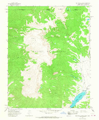
1963 · Big Costilla Peak
USGS Topo · 1:24,000
1967 · La Valley
USGS Topo · 1:24,000