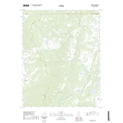
2023 Map of The Wall
USGS Topo · Published 2023About this map
Vermejo Peak and the high ridges of the Culebra Range dominate this remote landscape at the border of New Mexico and Colorado. The terrain is defined by dramatic geological features, most notably the towering vertical formation known as The Wall and its smaller counterpart, The Little Wall. These ridges separate the drainage basins of the Vermejo River and Costilla Creek, creating a complex network of high-altitude canyons like Cherokee Canyon and Trail Canyon.
Find a feature on this map
35 named features on this map. Tap any name to fly to it.
Don’t see what you’re looking for? This feature index may not catch every label — zoom into the map to look around manually.
Map Details
Editions of this 2023 The Wall Map
This is the sole edition of this map. No revisions or reprints were ever made.
Other maps of this area

1954 · Raton
USGS Topo · 1:250,000

1954 · Trinidad
USGS Topo · 1:250,000

1955 · Trinidad
USGS Topo · 1:250,000

1958 · Raton
USGS Topo · 1:250,000

1958 · Trinidad
USGS Topo · 1:250,000

1959 · Trinidad
USGS Topo · 1:250,000

1962 · Ash Mountain
USGS Topo · 1:62,500

1963 · Comanche Point
USGS Topo · 1:24,000

1963 · Big Costilla Peak
USGS Topo · 1:24,000

1967 · La Valley
USGS Topo · 1:24,000