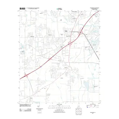
2011 Map of Theodore
USGS Topo · Published 2011About this map
Theodore and Tillmans Corner anchor this coastal Alabama landscape, illustrating the suburban and industrial expansion southwest of Mobile during the early twenty-first century. The map details a complex network of residential subdivisions such as Canterbury Heights, Robinwood, and Lansdowne that have developed alongside older crossroads like Irvington. This era of growth is balanced by a significant presence of memorial and community sites, including the Morning Star Cemetery, Mobile Memorial Gardens Cemetery, and Magnolia Springs Cemetery.
Find a feature on this map
160 named features on this map. Tap any name to fly to it.
Don’t see what you’re looking for? This feature index may not catch every label — zoom into the map to look around manually.
Map Details
Editions of this 2011 Theodore Map
This is the sole edition of this map. No revisions or reprints were ever made.
Other maps of this area

1921 · Grand Bay
USGS Topo · 1:62,500

1921 · Delchamps
USGS Topo · 1:62,500

1922 · Mobile
USGS Topo · 1:62,500

1940 · Hollingers Island
USGS Topo · 1:31,680

1940 · Mobile
USGS Topo · 1:31,680

1940 · Mobile
USGS Topo · 1:62,500

1941 · Cedar Point
USGS Topo · 1:62,500

1941 · Hurley
USGS Topo · 1:62,500

1942 · Theodore
USGS Topo · 1:31,680

1943 · Cedar Point
USGS Topo · 1:62,500