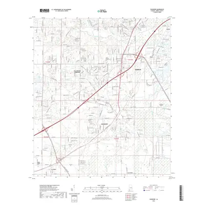
2018 Map of Theodore
USGS Topo · Published 2018About this map
Theodore and Tillmans Corner anchor this coastal Alabama landscape, illustrating the dense suburban expansion and transportation corridors southwest of Mobile. The map reveals a complex network of waterways feeding into the bay, including Halls Mill Creek, Rabbit Creek, and the Foul River, which define the low-lying terrain. This area is a critical junction where major arteries like Government Blvd and Old Pascagoula Rd meet, reflecting the regional growth patterns of the early 21st century.
Find a feature on this map
237 named features on this map. Tap any name to fly to it.
Don’t see what you’re looking for? This feature index may not catch every label — zoom into the map to look around manually.
Map Details
Editions of this 2018 Theodore Map
This is the sole edition of this map. No revisions or reprints were ever made.
Other maps of this area

1921 · Grand Bay
USGS Topo · 1:62,500

1921 · Delchamps
USGS Topo · 1:62,500

1922 · Mobile
USGS Topo · 1:62,500

1940 · Hollingers Island
USGS Topo · 1:31,680

1940 · Mobile
USGS Topo · 1:31,680

1940 · Mobile
USGS Topo · 1:62,500

1941 · Cedar Point
USGS Topo · 1:62,500

1941 · Hurley
USGS Topo · 1:62,500

1942 · Theodore
USGS Topo · 1:31,680

1943 · Cedar Point
USGS Topo · 1:62,500