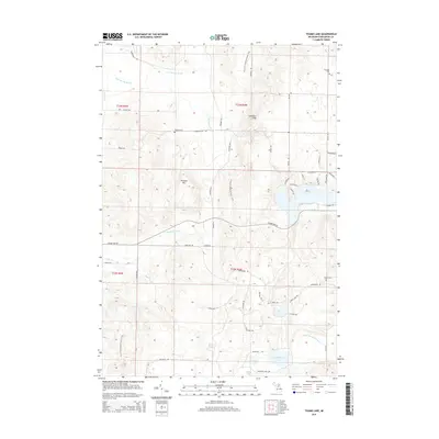
2014 Map of Thumb Lake
USGS Topo · Published 2014About this map
The high divide between the Lake Michigan and Lake Huron watersheds is clearly defined here by the Chandler Hills and Thunder Mtn. In this northern Michigan landscape, the N Br Boyne River flows westward, while the W Br Sturgeon River drains the eastern slopes, illustrating the complex hydrology of the region. Scattered throughout these uplands are vital genealogical landmarks, including Chandler Cem, Howard Cem, and Hudson Cem, which anchor the local history of the surrounding townships. Large water bodies like Thumb Lake and Hoffman Lake dominate the low-lying basins, connected by a network of rural roads and the long-distance N Country National Scenic Trail. The map details a transition from rugged forest and hills to lake-strewn plains, offering a precise look at the 2014 state of these inland highlands.
Find a feature on this map
61 named features on this map. Tap any name to fly to it.
Don’t see what you’re looking for? This feature index may not catch every label — zoom into the map to look around manually.
Map Details
Editions of this 2014 Thumb Lake Map
This is the sole edition of this map. No revisions or reprints were ever made.
Other maps of this area

1954 · Gaylord
USGS Topo · 1:62,500

1955 · Cheboygan
USGS Topo · 1:250,000

1957 · Wolverine
USGS Topo · 1:62,500

1958 · Cheboygan
USGS Topo · 1:250,000

1958 · Petoskey
USGS Topo · 1:62,500

1961 · Boyne Falls
USGS Topo · 1:62,500

1975 · Petoskey SW
USGS Topo · 1:24,000
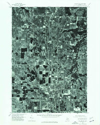
1975 · Gaylord SW
USGS Topo · 1:24,000

1982 · Petoskey
USGS Topo · 1:100,000
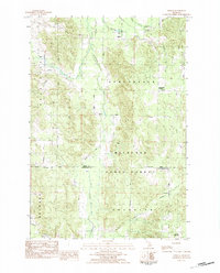
1983 · Epsilon
USGS Topo · 1:25,000
Featured Places
- Chandler Township, MI
- Melrose Township, MI
- Hudson Township, MI
- Boyne Valley Township, MI
- Charlevoix County, MI