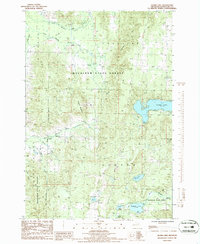
1986 Map of Thumb Lake
USGS Topo · Published 1986About this map
Mackinaw State Forest blankets this portion of Charlevoix County, defining a landscape of high ridges and glacial lakes during the mid-1980s. The terrain is dominated by the Chandler Hills and Thunder Mountain, where the infrastructure of outdoor recreation is evident through Ski Lifts and a Golf Course. Water features are central to the area's geography, from the sprawling Thumb Lake with its Boat Ramp to the smaller Heart Lake and Kidney Lake.
Find a feature on this map
36 named features on this map. Tap any name to fly to it.
Don’t see what you’re looking for? This feature index may not catch every label — zoom into the map to look around manually.
Map Details
Editions of this 1986 Thumb Lake Map
This is the sole edition of this map. No revisions or reprints were ever made.
Other maps of this area

1954 · Gaylord
USGS Topo · 1:62,500

1955 · Cheboygan
USGS Topo · 1:250,000

1957 · Wolverine
USGS Topo · 1:62,500

1958 · Cheboygan
USGS Topo · 1:250,000

1958 · Petoskey
USGS Topo · 1:62,500

1961 · Boyne Falls
USGS Topo · 1:62,500

1975 · Petoskey SW
USGS Topo · 1:24,000
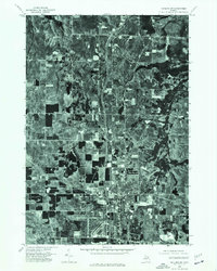
1975 · Gaylord SW
USGS Topo · 1:24,000

1982 · Petoskey
USGS Topo · 1:100,000
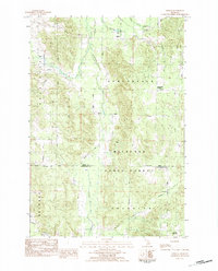
1983 · Epsilon
USGS Topo · 1:25,000
Featured Places
- Boyne Valley Township, MI
- Chandler Township, MI
- Melrose Township, MI
- Hudson Township, MI
- Charlevoix County, MI