
1972 Map of Thunder Hawk SW
USGS Topo · Published 1975About this map
Standing Rock Indian Reservation encompasses this entire 1970s landscape in Corson County, characterized by the expansive drainages of the Thunder Hawk and Rolling Green regions. The terrain is defined by a dense network of intermittent watercourses, including Willow Creek, its West Branch, and Deer Creek, which carve through the plains. Settlement is sparse, with Paris serving as a localized point of interest amidst the ranching and agricultural land. Human impact on the land is further evidenced by a singular Mine and various scattered wells. This survey provides a clear view of the topographic character of the northern South Dakota prairie before more modern developments, showing the relationship between the natural water systems and the early rural infrastructure of the reservation.
Find a feature on this map
10 named features on this map. Tap any name to fly to it.
Don’t see what you’re looking for? This feature index may not catch every label — zoom into the map to look around manually.
Map Details
Editions of this 1972 Thunder Hawk SW Map
This is the sole edition of this map. No revisions or reprints were ever made.
Other maps of this area

1953 · McIntosh
USGS Topo · 1:250,000

1954 · Lemmon
USGS Topo · 1:250,000

1957 · Lemmon
USGS Topo · 1:250,000

1958 · McIntosh
USGS Topo · 1:250,000

1972 · Black Horse Butte NW
USGS Topo · 1:24,000

1972 · Thunder Hawk SE
USGS Topo · 1:24,000
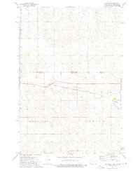
1972 · Keldron
USGS Topo · 1:24,000
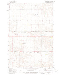
1972 · Thunder Hawk
USGS Topo · 1:24,000

1972 · Black Horse Butte NE
USGS Topo · 1:24,000
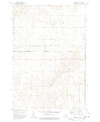
1974 · Lemmon NE
USGS Topo · 1:24,000