2022 Map of Tiffin
USGS Topo · Published 2022About this map
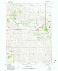
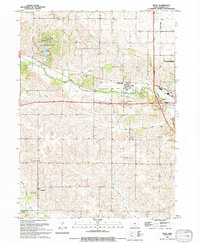
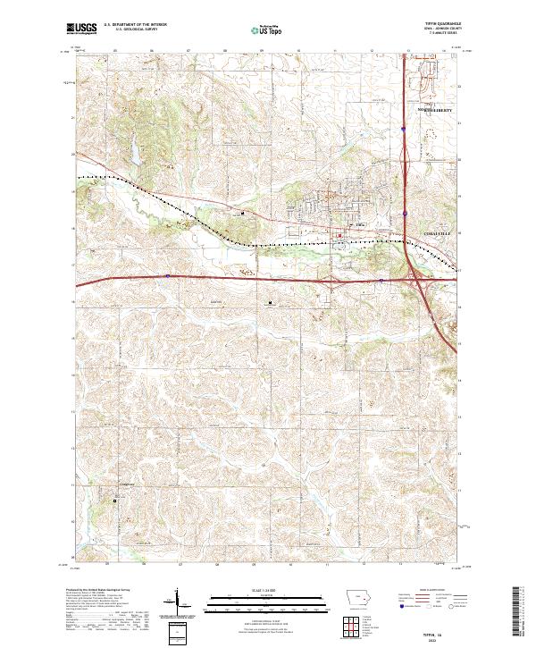
Tiffin sits at the heart of this Johnson County landscape, where the growing suburban reaches of North Liberty and Coralville meet the agricultural terrain of eastern Iowa. The area is defined by its drainages, with Clear Creek and Buffalo Creek carving paths through the rolling land. Notable for genealogists are the scattered burial grounds that anchor the rural sections, including Oak Hill Cem, Summerhays Cem, and Saint Peter Cem near the settlement of Cosgrove. To the west, Kent Park provides a significant recreational space, while Sand Hill rises as a distinct topographical landmark above the surrounding fields. The map documents a transition from the traditional rural layout of Township 80 North to the modern residential expansions seen in developments like those along Rolling Hills Drive and Oakdale Boulevard.
Find a feature on this map
81 named features on this map. Tap any name to fly to it.
Don’t see what you’re looking for? This feature index may not catch every label — zoom into the map to look around manually.
Map Details
Editions of this 2022 Tiffin Map
This is the sole edition of this map. No revisions or reprints were ever made.