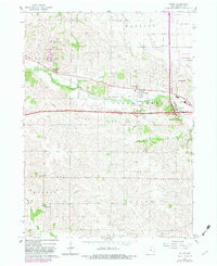
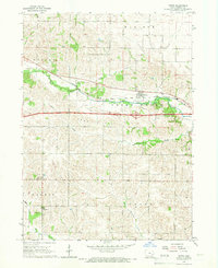
1965 Map of Tiffin
USGS Topo · Published 1983About this map
Tiffin sits at the heart of this landscape, positioned along the Chicago Rock Island and Pacific railroad and the banks of Clear Creek. The map documents a period of significant infrastructure development, with the expansion of I-80 and the appearance of Interchange 237 and Interchange 238 near the corporate boundary of Coralville. To the west, the F W Kent County Park provides a large recreational area amid the agricultural sections of Oxford and Madison townships.
Find a feature on this map
32 named features on this map. Tap any name to fly to it.
Don’t see what you’re looking for? This feature index may not catch every label — zoom into the map to look around manually.
Map Details
Editions of this 1965 Tiffin Map
2 editions found
Other maps of this area

1887 · Cedar Rapids
USGS Topo · 1:62,500

1888 · Amana
USGS Topo · 1:62,500

1889 · Amana
USGS Topo · 1:62,500

1891 · Oxford
USGS Topo · 1:62,500

1891 · Cedar Rapids
USGS Topo · 1:62,500

1891 · Iowa City
USGS Topo · 1:62,500

1894 · Oxford
USGS Topo · 1:62,500

1899 · Amana
USGS Topo · 1:62,500

1903 · Fairfax
USGS Topo · 1:125,000

1938 · Iowa City
USGS Topo · 1:62,500