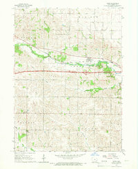
1965 Map of Tiffin
USGS Topo · Published 1967About this map
The town of Tiffin serves as a focal point in this 1960s Iowa landscape, where the Chicago Rock Island and Pacific railroad tracks cut through the drainage of Clear Creek. To the south, the settlement of Cosgrove sits near St Peter Dem, reflecting the rural community structures of Johnson County during this era. The terrain is defined by undulating hills and stream valleys, notably Sand Hill and the meandering paths of Old Mans Creek and Mona Creek.
Find a feature on this map
24 named features on this map. Tap any name to fly to it.
Don’t see what you’re looking for? This feature index may not catch every label — zoom into the map to look around manually.
Map Details
Editions of this 1965 Tiffin Map
2 editions found
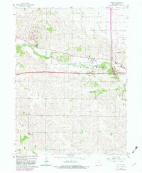
Other maps of this area

1887 · Cedar Rapids
USGS Topo · 1:62,500

1888 · Amana
USGS Topo · 1:62,500

1889 · Amana
USGS Topo · 1:62,500

1891 · Oxford
USGS Topo · 1:62,500

1891 · Cedar Rapids
USGS Topo · 1:62,500

1891 · Iowa City
USGS Topo · 1:62,500

1894 · Oxford
USGS Topo · 1:62,500

1899 · Amana
USGS Topo · 1:62,500

1903 · Fairfax
USGS Topo · 1:125,000

1938 · Iowa City
USGS Topo · 1:62,500