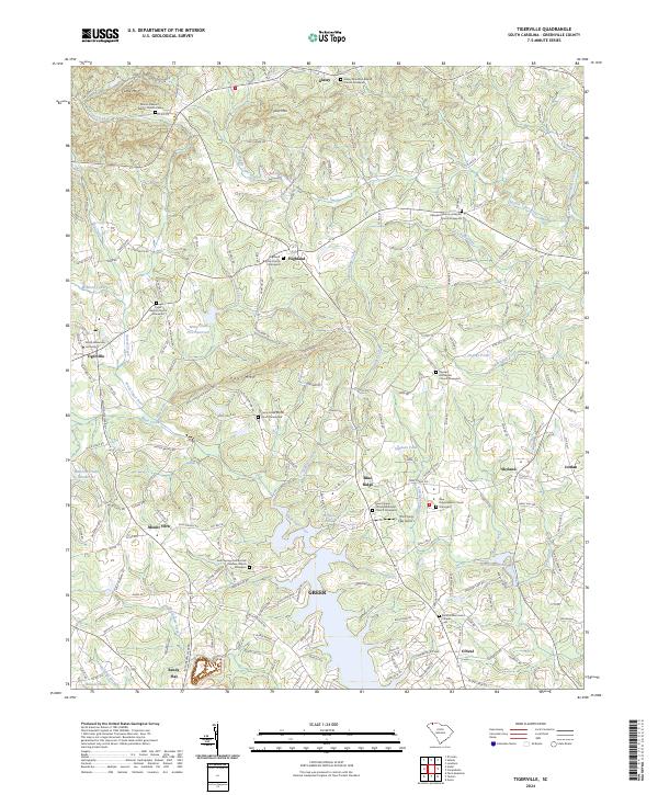
2024 Map of Tigerville
USGS Topo · Published 2024About this map
Greer and the surrounding foothills of Greenville County are defined by a network of Baptist and Methodist congregations that have anchored these communities for generations. The landscape is punctuated by prominent terrain such as Pax Mtn and Tillet Mtn, while the South Tyger River and Middle Tyger River drain the valley floor. Educational and modern developments are evident at North Greenville University in Tigerville, while the local aviation history is represented by The Flying Few Airport near Blue Ridge.
Find a feature on this map
189 named features on this map. Tap any name to fly to it.
Don’t see what you’re looking for? This feature index may not catch every label — zoom into the map to look around manually.
Map Details
Editions of this 2024 Tigerville Map
This is the sole edition of this map. No revisions or reprints were ever made.
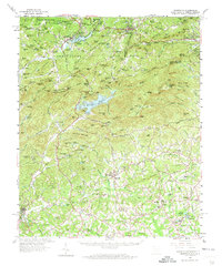
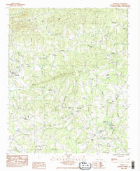
Historical Maps of O'Neal Through Time
3 maps found