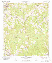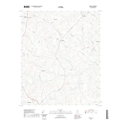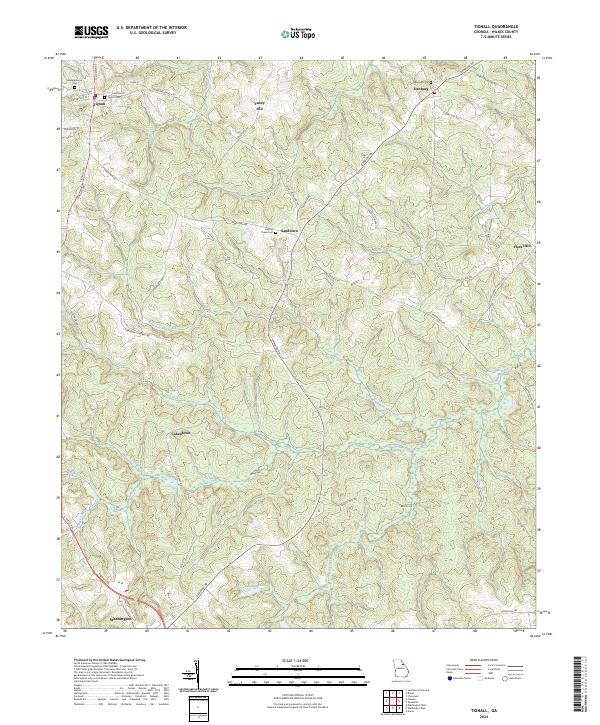
2024 Map of Tignall
USGS Topo · Published 2024About this map
Tignall sits at the northern edge of this Wilkes County landscape, serving as a focal point for a network of country roads like Danburg Rd and Tignall Rd. The area is defined by its deep historical roots, evident in the numerous small settlements and family-named cemeteries that dot the terrain. From the community of Danburg in the northeast to the northern outskirts of Washington at the southern boundary, the map captures a rural Georgia environment where watercourses like Fishing Creek and Anderson Mill Creek dictate the local topography.
Find a feature on this map
53 named features on this map. Tap any name to fly to it.
Don’t see what you’re looking for? This feature index may not catch every label — zoom into the map to look around manually.
Map Details
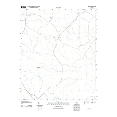
Editions of this 2024 Tignall Map
This is the sole edition of this map. No revisions or reprints were ever made.
Historical Maps of Washington Through Time
6 maps found