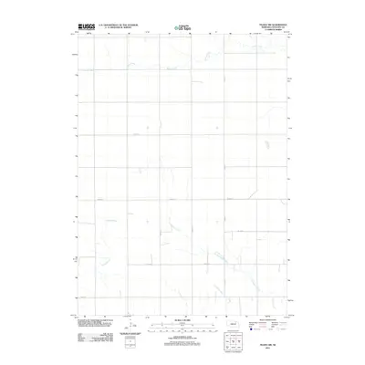
2011 Map of Tilden NW
USGS Topo · Published 2011About this map
The agrarian landscape of Antelope County is defined by its meticulous section lines and the meandering paths of its prairie waterways. In this northern Nebraska township, the westward flow of Willow Creek dominates the upper terrain, while the drainage of Al Hopkins Creek and Trueblood Creek carves gentle paths through the southern sections. This 2011 survey reveals a well-established rural infrastructure where a grid of thoroughfares like Pierce Rd and 852nd Rd provides access to vast agricultural plots. The land between Belmer Creek and the arterial 530 Ave illustrates the enduring layout of the Great Plains, where the geometry of human transit follows the logic of the township-and-range system around natural hydrology.
Find a feature on this map
12 named features on this map. Tap any name to fly to it.
Don’t see what you’re looking for? This feature index may not catch every label — zoom into the map to look around manually.
Map Details
Editions of this 2011 Tilden NW Map
This is the sole edition of this map. No revisions or reprints were ever made.
Other maps of this area

1955 · Sioux City
USGS Topo · 1:250,000

1955 · O'Neill
USGS Topo · 1:250,000

1958 · Sioux City
USGS Topo · 1:250,000

1959 · O'Neill
USGS Topo · 1:250,000

1959 · Sioux City
USGS Topo · 1:250,000

1963 · Neligh
USGS Topo · 1:24,000

1963 · Neligh SE
USGS Topo · 1:24,000
1963 · Oakdale
USGS Topo · 1:24,000

1963 · Plainview
USGS Topo · 1:24,000

1963 · Brunswick
USGS Topo · 1:24,000