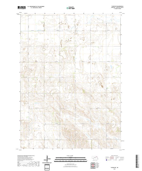
2021 Map of Tilden NW
USGS Topo · Published 2021About this map
Willow Cr and Black Lake define the drainage and hydrology of this section of Antelope County, characterized by a highly organized grid of rural corridors. The landscape is segmented into townships including t26n r6w, t26n r5w, and t25n r5w, reflecting the enduring legacy of the Public Land Survey System. Movement through the territory relies on a dense network of numbered routes such as 857th Rd and Pierce Rd, which facilitate access to the surrounding agricultural fields. Small watercourses like Belmer Cr, Al Hopkins Cr, and Trueblood Cr carve through the terrain, indicating the subtle elevation changes and natural irrigation patterns essential to the local environment.
Find a feature on this map
25 named features on this map. Tap any name to fly to it.
Don’t see what you’re looking for? This feature index may not catch every label — zoom into the map to look around manually.
Map Details
Editions of this 2021 Tilden NW Map
This is the sole edition of this map. No revisions or reprints were ever made.
Other maps of this area

1955 · Sioux City
USGS Topo · 1:250,000

1955 · O'Neill
USGS Topo · 1:250,000

1958 · Sioux City
USGS Topo · 1:250,000

1959 · O'Neill
USGS Topo · 1:250,000

1959 · Sioux City
USGS Topo · 1:250,000

1963 · Neligh
USGS Topo · 1:24,000

1963 · Neligh SE
USGS Topo · 1:24,000
1963 · Oakdale
USGS Topo · 1:24,000

1963 · Plainview
USGS Topo · 1:24,000

1963 · Brunswick
USGS Topo · 1:24,000