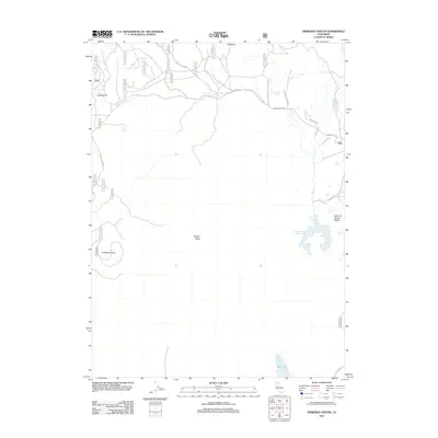
2012 Map of Timbered Crater
USGS Topo · Published 2012About this map
Timbered Crater and Brushy Butte dominate this northeastern California landscape, reflecting the distinct volcanic geography of the region. The high desert terrain is punctuated by significant water management features, including Gassaway Reservoir, Adobe Flat Reservoir, and the sprawling Green Place Reservoir to the east. These man-made basins, alongside natural points like Little Hot Spring and Bluebrush Spring, illustrate the critical importance of water resources for the area's grazing and forest lands. Settlement is sparse, with Adobe Flat and the small community of Day serving as primary landmarks connected by a network of forest service routes like Forest Rte 40N01. The map reveals a land defined by its geology, from the broad Little Hot Spring Valley to the southern reaches near Big Lake, where the transition from volcanic vents to lower basins becomes evident.
Find a feature on this map
32 named features on this map. Tap any name to fly to it.
Don’t see what you’re looking for? This feature index may not catch every label — zoom into the map to look around manually.
Map Details
Editions of this 2012 Timbered Crater Map
This is the sole edition of this map. No revisions or reprints were ever made.
Other maps of this area
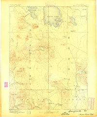
1886 · Modoc Lava Bed
USGS Topo · 1:250,000
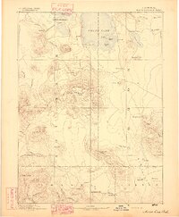
1892 · Modoc Lava-Bed
USGS Topo · 1:250,000
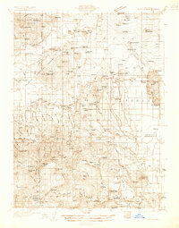
1932 · Bartle
USGS Topo · 1:96,000
1939 · Bartle
USGS Topo · 1:125,000
1954 · Alturas
USGS Topo · 1:250,000
1958 · Alturas
USGS Topo · 1:250,000
1961 · Hambone
USGS Topo · 1:62,500
1961 · Pondosa
USGS Topo · 1:62,500
1961 · Fall River Mills
USGS Topo · 1:62,500
1962 · Alturas
USGS Topo · 1:250,000