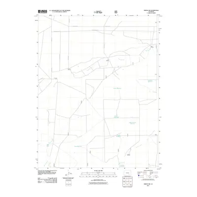
2011 Map of Timpas SW
USGS Topo · Published 2011About this map
Water management in the high plains of Otero County defines this landscape, where a series of small, scattered catchments appear as critical infrastructure for ranching and agriculture. Named features such as Smith Reservoir, Larson Reservoir, and School Section Reservoir are distributed along the drainage paths of West Dry Creek and South Dry Creek. The presence of Wilson Windmill, Reed Windmill, and Nemo Windmill further emphasizes the reliance on groundwater in this arid environment. The road network, including County Rd 6 and County Road S, frames a system of range management that likely supports the Dry Creek Camp. This map provides a clear picture of the land-use patterns and hydrological engineering required to sustain life in southeastern Colorado during the early 21st century.
Find a feature on this map
24 named features on this map. Tap any name to fly to it.
Don’t see what you’re looking for? This feature index may not catch every label — zoom into the map to look around manually.
Map Details
Editions of this 2011 Timpas SW Map
This is the sole edition of this map. No revisions or reprints were ever made.
Other maps of this area

1891 · Timpas
USGS Topo · 1:125,000

1891 · Apishapa
USGS Topo · 1:125,000

1893 · Apishapa
USGS Topo · 1:125,000

1894 · Timpas
USGS Topo · 1:125,000

1897 · Apishapa
USGS Topo · 1:125,000

1954 · Trinidad
USGS Topo · 1:250,000

1955 · La Junta
USGS Topo · 1:250,000

1955 · Trinidad
USGS Topo · 1:250,000

1958 · La Junta
USGS Topo · 1:250,000

1958 · Trinidad
USGS Topo · 1:250,000