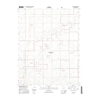
2016 Map of Timpas SW
USGS Topo · Published 2016About this map
Comanche National Grassland dominates this section of the Colorado plains, where the arid landscape is defined by a sparse but critical network of water catchments. The terrain is marked by seasonal drainages such as W Dry Cr and S Dry Cr, which serve as the primary conduits for runoff across the open range. In a region where water management is essential for livestock and land health, the map reveals several named points of significance including Anderson Reservoir, Larson Reservoir, and School Section Reservoir.
Find a feature on this map
17 named features on this map. Tap any name to fly to it.
Don’t see what you’re looking for? This feature index may not catch every label — zoom into the map to look around manually.
Map Details
Editions of this 2016 Timpas SW Map
This is the sole edition of this map. No revisions or reprints were ever made.
Other maps of this area
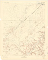
1891 · Timpas
USGS Topo · 1:125,000
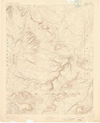
1891 · Apishapa
USGS Topo · 1:125,000
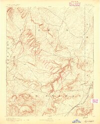
1893 · Apishapa
USGS Topo · 1:125,000
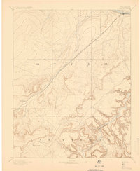
1894 · Timpas
USGS Topo · 1:125,000
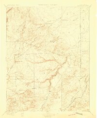
1897 · Apishapa
USGS Topo · 1:125,000

1954 · Trinidad
USGS Topo · 1:250,000

1955 · La Junta
USGS Topo · 1:250,000

1955 · Trinidad
USGS Topo · 1:250,000

1958 · La Junta
USGS Topo · 1:250,000

1958 · Trinidad
USGS Topo · 1:250,000