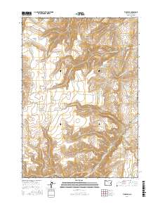
2017 Map of Tims Peak
USGS Topo · Published 2017About this map
Tims Peak stands as the dominant landmark in this high-desert reach of Malheur County, where the 21st-century landscape is defined by an intricate network of water management features. The area's ranching heritage is evidenced by the numerous reservoirs and springs distributed across the terrain, including Ha-ng Isa Reservoir, Ray Reservoir, and the Gold Cr Reservoir Number One. The drainage patterns of Hu-tsi-Tehaga Cr and Te-che-cha-paa-nena Cr underscore the complex topography. While the region is largely open range, industrial markers like Sunnyslope Pit and agricultural infrastructure such as the Shearing Plant Reservoir indicate localized economic activity. This survey captures a moment when traditional land uses, represented by Wildcat Waterhole and various family-named features like Rufino Gulch, persist alongside modern water conservation efforts.
Find a feature on this map
40 named features on this map. Tap any name to fly to it.
Don’t see what you’re looking for? This feature index may not catch every label — zoom into the map to look around manually.
Map Details
Editions of this 2017 Tims Peak Map
This is the sole edition of this map. No revisions or reprints were ever made.
Other maps of this area
1955 · Boise
USGS Topo · 1:250,000
1958 · Boise
USGS Topo · 1:250,000
1962 · Boise
USGS Topo · 1:250,000
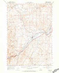
1966 · Harper
USGS Topo · 1:62,500
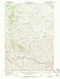
1966 · Westfall Butte
USGS Topo · 1:62,500
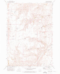
1972 · Tims Peak
USGS Topo · 1:24,000
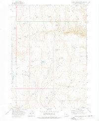
1972 · Shumway Reservoir
USGS Topo · 1:24,000
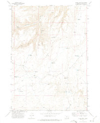
1972 · Alder Creek
USGS Topo · 1:24,000
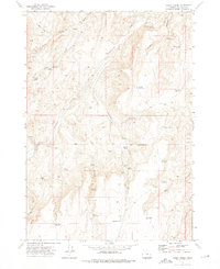
1972 · Avery Creek
USGS Topo · 1:24,000
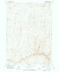
1972 · Rufino Butte
USGS Topo · 1:24,000