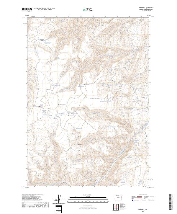
2024 Map of Tims Peak
USGS Topo · Published 2024About this map
Tims Peak rises as a prominent landmark in this high-desert portion of Malheur County, where the landscape is defined by an extensive network of seasonal water management and spring-fed points. The region's history of livestock grazing and land use is written across the terrain through numerous infrastructure features like the Shearing Plant Reservoir and the McCloud-Field Reservoir. A series of naming conventions, including Hu-Tsi Tehaga Creek and Ti-he-cha-paa nena-Creek, suggests a layered cultural history within the drainage basins of Wildcat Creek and Cottonwood Creek.
Find a feature on this map
41 named features on this map. Tap any name to fly to it.
Don’t see what you’re looking for? This feature index may not catch every label — zoom into the map to look around manually.
Map Details
Editions of this 2024 Tims Peak Map
This is the sole edition of this map. No revisions or reprints were ever made.
Other maps of this area

1955 · Boise
USGS Topo · 1:250,000

1958 · Boise
USGS Topo · 1:250,000

1962 · Boise
USGS Topo · 1:250,000

1966 · Harper
USGS Topo · 1:62,500

1966 · Westfall Butte
USGS Topo · 1:62,500

1972 · Tims Peak
USGS Topo · 1:24,000

1972 · Shumway Reservoir
USGS Topo · 1:24,000

1972 · Alder Creek
USGS Topo · 1:24,000

1972 · Avery Creek
USGS Topo · 1:24,000

1972 · Rufino Butte
USGS Topo · 1:24,000