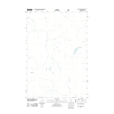
2011 Map of Tin Cup Lake
USGS Topo · Published 2011About this map
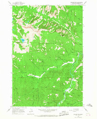
Tin Cup Lake and its corresponding Tin Cup Lake Dam anchor the hydrography of this high-elevation landscape in Ravalli County. The drainage network is defined by the winding paths of White Cap Creek and Tin Cup Creek, which gather runoff from the slopes of Vance Mountain. A notable point of interest is Daisy Fern Falls, located at a confluence where Triple Creek meets the headwaters of the White Cap.
Find a feature on this map
10 named features on this map. Tap any name to fly to it.
Don’t see what you’re looking for? This feature index may not catch every label — zoom into the map to look around manually.
Map Details
Editions of this 2011 Tin Cup Lake Map
This is the sole edition of this map. No revisions or reprints were ever made.
Other maps of this area
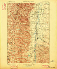
1901 · Hamilton
USGS Topo · 1:125,000
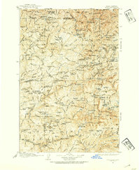
1911 · Lolo
USGS Topo · 1:250,000
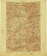
1913 · Lolo
USGS Topo · 1:250,000

1956 · Elk City
USGS Topo · 1:250,000
1956 · Hamilton
USGS Topo · 1:250,000
1959 · Hamilton
USGS Topo · 1:250,000

1960 · Elk City
USGS Topo · 1:250,000
1960 · Hamilton
USGS Topo · 1:250,000
1964 · Hamilton
USGS Topo · 1:250,000
1964 · Boulder Peak
USGS Topo · 1:24,000