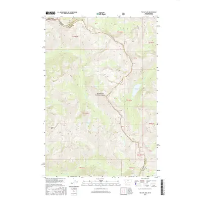
2017 Map of Tin Cup Lake
USGS Topo · Published 2017About this map
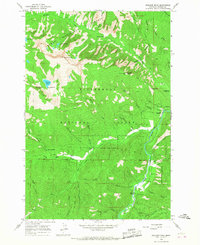
The boundary between Montana and Idaho cuts through this high-elevation wilderness, following the high ridges of the Bitterroot Mountains. In 2017, the landscape remained largely defined by the protected lands of the Bitterroot National Forest and the Nez Perce National Forest. Water features dominate the geography, notably Tin Cup Lake and the cascading waters of Patsy Ann Falls. The area is carved by a complex network of drainages including White Cap Cr, Canyon Cr, and Triple Cr. These headwaters flow away from the continental divide through steep valleys. High points such as Vance Mtn provide significant landmarks for navigation within the forest, while the smaller White Cap Lakes highlight the glacial history of the terrain. This map captures the remote character of the state line at a time when traditional topographical features were being recorded with modern precision.
Find a feature on this map
39 named features on this map. Tap any name to fly to it.
Don’t see what you’re looking for? This feature index may not catch every label — zoom into the map to look around manually.
Map Details
Editions of this 2017 Tin Cup Lake Map
This is the sole edition of this map. No revisions or reprints were ever made.
Other maps of this area
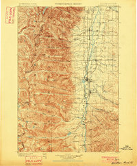
1901 · Hamilton
USGS Topo · 1:125,000
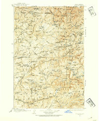
1911 · Lolo
USGS Topo · 1:250,000
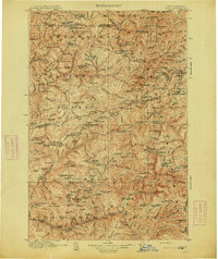
1913 · Lolo
USGS Topo · 1:250,000

1956 · Elk City
USGS Topo · 1:250,000
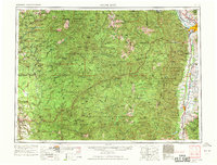
1956 · Hamilton
USGS Topo · 1:250,000
1959 · Hamilton
USGS Topo · 1:250,000

1960 · Elk City
USGS Topo · 1:250,000
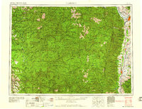
1960 · Hamilton
USGS Topo · 1:250,000
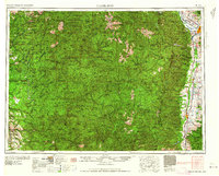
1964 · Hamilton
USGS Topo · 1:250,000
1964 · Boulder Peak
USGS Topo · 1:24,000