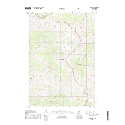
2020 Map of Tin Cup Lake
USGS Topo · Published 2020About this map
Bitterroot National Forest dominates this high-altitude landscape along the border of Montana and Idaho. The terrain is defined by a series of significant drainages and peaks, with Tin Cup Lake situated near the eastern edge of the quadrangle. Several prominent watercourses, including Whitecap Creek, Canyon Creek, and Tin Cup Cr, carve through the mountainous topography, punctuated by features like Patsy Ann Falls. The northern reaches are marked by Capitan Cr, while Vance Mtn stands out in the southwest. This 2020 data captures the area’s hydrography and public land boundaries, showing the complex intersection of Ravalli Co and Idaho Co at the state line, where the forest's preservation keeps the network of alpine creeks like Triple Cr and Trapper Cr in their natural state.
Find a feature on this map
26 named features on this map. Tap any name to fly to it.
Don’t see what you’re looking for? This feature index may not catch every label — zoom into the map to look around manually.
Map Details
Editions of this 2020 Tin Cup Lake Map
This is the sole edition of this map. No revisions or reprints were ever made.
Other maps of this area

1901 · Hamilton
USGS Topo · 1:125,000

1911 · Lolo
USGS Topo · 1:250,000

1913 · Lolo
USGS Topo · 1:250,000

1956 · Elk City
USGS Topo · 1:250,000

1956 · Hamilton
USGS Topo · 1:250,000

1959 · Hamilton
USGS Topo · 1:250,000

1960 · Elk City
USGS Topo · 1:250,000

1960 · Hamilton
USGS Topo · 1:250,000

1964 · Hamilton
USGS Topo · 1:250,000

1964 · Boulder Peak
USGS Topo · 1:24,000