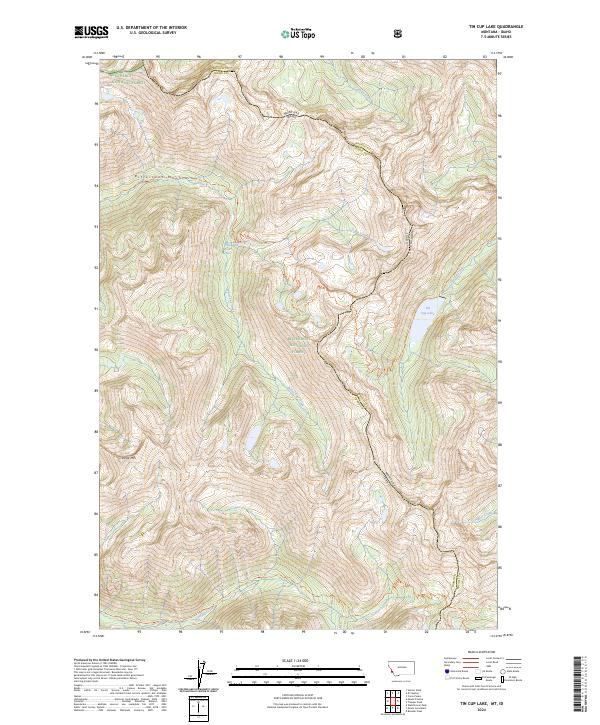
2024 Map of Tin Cup Lake
USGS Topo · Published 2024About this map
The crest of the Bitterroot Mountains serves as a stark natural boundary between Montana and Idaho, splitting the high peaks of Ravalli and Idaho Counties. This wilderness corridor is defined by its deep drainages and vertical relief, where several major forest systems converge. The Selway-Bitterroot Wilderness encompasses much of the terrain, protecting a landscape where modern infrastructure is absent in favor of established primitive routes like the White Cap Creek Trl and Canyon Creek Trl.
Find a feature on this map
29 named features on this map. Tap any name to fly to it.
Don’t see what you’re looking for? This feature index may not catch every label — zoom into the map to look around manually.
Map Details
Editions of this 2024 Tin Cup Lake Map
This is the sole edition of this map. No revisions or reprints were ever made.
Other maps of this area

1901 · Hamilton
USGS Topo · 1:125,000

1911 · Lolo
USGS Topo · 1:250,000

1913 · Lolo
USGS Topo · 1:250,000

1956 · Elk City
USGS Topo · 1:250,000

1956 · Hamilton
USGS Topo · 1:250,000

1959 · Hamilton
USGS Topo · 1:250,000

1960 · Elk City
USGS Topo · 1:250,000

1960 · Hamilton
USGS Topo · 1:250,000

1964 · Hamilton
USGS Topo · 1:250,000

1964 · Boulder Peak
USGS Topo · 1:24,000