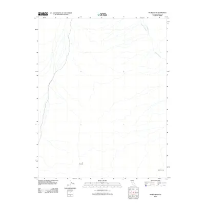
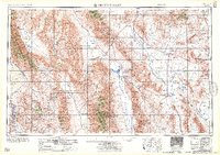
2012 Map of Tin Mountain
USGS Topo · Published 2012About this map
Tin Mountain dominates the southern reaches of this Inyo County terrain, where the high-altitude landscape is defined by drainage patterns and arid geological features. The Death Valley Wash cuts through the northeast, joined by the seasonal flow of Little Grapevine Cr as water moves through the desert environment toward lower elevations. Transportation is limited to the single thoroughfare of Racetrack Valley Rd along the western edge, a route that serves as the primary access through this remote section of the California desert. The appearance of Bighorn Gorge in the southeast corner indicates the complex vertical relief that characterizes the eastern slopes of the mountain range.
Find a feature on this map
5 named features on this map. Tap any name to fly to it.
Don’t see what you’re looking for? This feature index may not catch every label — zoom into the map to look around manually.
Map Details
Editions of this 2012 Tin Mountain Map
This is the sole edition of this map. No revisions or reprints were ever made.
Other maps of this area
1908 · Lida
USGS Topo · 1:250,000

1908 · Ballarat
USGS Topo · 1:250,000
1913 · Lida
USGS Topo · 1:250,000

1913 · Ballarat
USGS Topo · 1:250,000

1948 · Death Valley
USGS Topo · 1:250,000

1954 · Death Valley
USGS Topo · 1:250,000

1954 · Goldfield
USGS Topo · 1:250,000
1955 · Goldfield
USGS Topo · 1:250,000

1956 · Death Valley
USGS Topo · 1:250,000
1957 · Death Valley
USGS Topo · 1:250,000