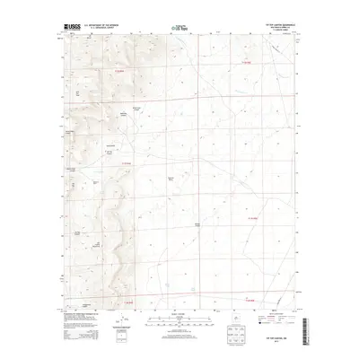
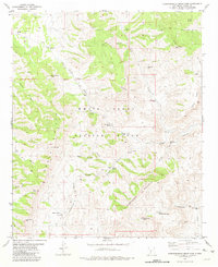
2013 Map of Tip Top Canyon
USGS Topo · Published 2013About this map
San Andres Mountains dominate this high-desert landscape, defined by a complex system of drainage and ranching infrastructure within the Tularosa Valley. The map reveals how water management is central to the area's utility, evidenced by the scattered development of Tip Top Tank, Riggs Tanks, and the secluded Tip Top Spring. Settlement is sparse, represented primarily by the Henderson Ranch, which sits near the head of Tip Top Canyon. The northern heights reach up to Mt Baldy and Lone Star Peak, giving way to deeply carved features like Makinson Canyon and White Rock Canyon. This 2013 survey provides a clear view of the modern road network, including WSMR P Route 13, which traverses the high desert flats of the eastern range.
Find a feature on this map
28 named features on this map. Tap any name to fly to it.
Don’t see what you’re looking for? This feature index may not catch every label — zoom into the map to look around manually.
Map Details
Editions of this 2013 Tip Top Canyon Map
This is the sole edition of this map. No revisions or reprints were ever made.
Other maps of this area
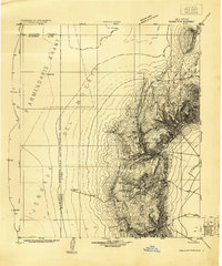
1916 · Salinas Peak
USGS Topo · 1:125,000
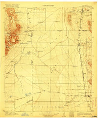
1916 · Tularosa
USGS Topo · 1:125,000
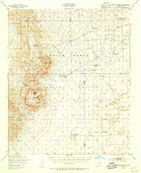
1947 · Capitol Peak
USGS Topo · 1:62,500
1948 · Black Top Mountain
USGS Topo · 1:62,500
1948 · Salinas Peak
USGS Topo · 1:62,500
1948 · Lumley Lake
USGS Topo · 1:62,500

1954 · Tularosa
USGS Topo · 1:250,000

1958 · Tularosa
USGS Topo · 1:250,000
1981 · Big Gyp Mountain
USGS Topo · 1:24,000
1981 · Hardscrabble Mountains
USGS Topo · 1:24,000