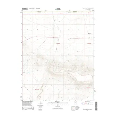
2014 Map of Toh Atin Mesa West
USGS Topo · Published 2014About this map
Toh Atin Mesa dominates the southern landscape of this 2014 survey, rising sharply from the high desert floor on the border of Arizona and Utah. The map documents a sparsely populated but vital corridor through the Shiprock Agency, centered around the settlement of Red Mesa. The northern reaches are defined by a network of drainage systems, including the southward-reaching Gothic Cr and the expansive Willow Spring Wash, which cut through the arid terrain.
Find a feature on this map
19 named features on this map. Tap any name to fly to it.
Don’t see what you’re looking for? This feature index may not catch every label — zoom into the map to look around manually.
Map Details
Editions of this 2014 Toh Atin Mesa West Map
This is the sole edition of this map. No revisions or reprints were ever made.
Other maps of this area
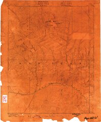
1886 · Abajo
USGS Topo · 1:250,000
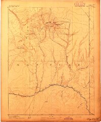
1892 · Abajo
USGS Topo · 1:250,000
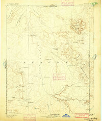
1892 · Canyon De Chelly
USGS Topo · 1:250,000
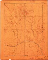
1893 · Abajo
USGS Topo · 1:250,000
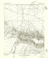
1953 · Dinne Mesa NW
USGS Topo · 1:24,000
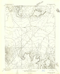
1953 · Dinne Mesa NE
USGS Topo · 1:24,000
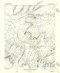
1953 · Dinne Mesa SW
USGS Topo · 1:24,000
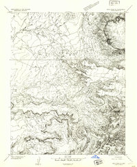
1953 · Dinne Mesa SE
USGS Topo · 1:24,000
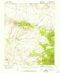
1953 · Toh-Atin Mesa
USGS Topo · 1:62,500

1954 · Shiprock
USGS Topo · 1:250,000