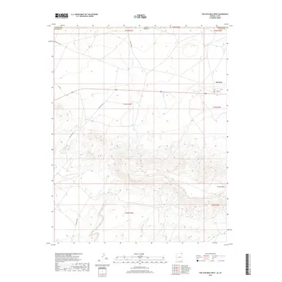
2018 Map of Toh Atin Mesa West
USGS Topo · Published 2018About this map
Red Mesa stands as a primary settlement node in this high-desert borderland where the boundaries of Arizona and Utah meet. The landscape is defined by the massive rising form of Toh Atin Mesa to the south and east, with drainage patterns shaped by Gothic Cr and the seasonal flows of Willow Spring Wash. This 2018 survey reveals a network of tribal and local transit, including Indian Rte 5058 and the historic path of the Navajo Trl. The intersection of political and geographic lines is prominent here, as the map tracks the transition from San Juan County into Apache County. Researchers can observe the modern infrastructure of the Shiprock Agency region laid over ancient terrain, where Sweetwater Wash cuts through the desert floor near the southern boundary.
Find a feature on this map
19 named features on this map. Tap any name to fly to it.
Don’t see what you’re looking for? This feature index may not catch every label — zoom into the map to look around manually.
Map Details
Editions of this 2018 Toh Atin Mesa West Map
This is the sole edition of this map. No revisions or reprints were ever made.
Other maps of this area
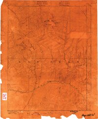
1886 · Abajo
USGS Topo · 1:250,000
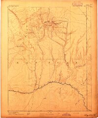
1892 · Abajo
USGS Topo · 1:250,000
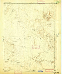
1892 · Canyon De Chelly
USGS Topo · 1:250,000
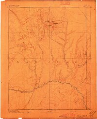
1893 · Abajo
USGS Topo · 1:250,000
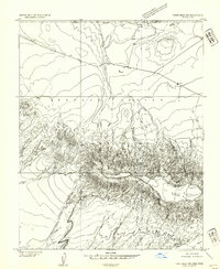
1953 · Dinne Mesa NW
USGS Topo · 1:24,000
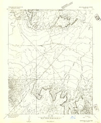
1953 · Dinne Mesa NE
USGS Topo · 1:24,000
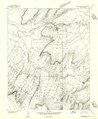
1953 · Dinne Mesa SW
USGS Topo · 1:24,000
1953 · Dinne Mesa SE
USGS Topo · 1:24,000
1953 · Toh-Atin Mesa
USGS Topo · 1:62,500

1954 · Shiprock
USGS Topo · 1:250,000