2021 Map of Tolani Lake
USGS Topo · Published 2021About this map
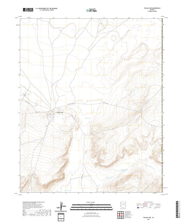
Tolani Lake serves as the central focal point of this high-desert landscape, where the intersection of Indian Rte 24 and Indian Rte 6810 marks a vital crossroads in the Navajo Nation. The terrain is defined by a network of seasonal watercourses, most notably the wide path of the Oraibi Wash and the winding Jeddito Wash to the southeast. These drainage systems, including the uniquely named Whe-yol-da- sah Wash and Polacca Wash, dictate the movement of both modern roads and historical routes through the plateau.
Find a feature on this map
14 named features on this map. Tap any name to fly to it.
Don’t see what you’re looking for? This feature index may not catch every label — zoom into the map to look around manually.
Map Details
Editions of this 2021 Tolani Lake Map
This is the sole edition of this map. No revisions or reprints were ever made.