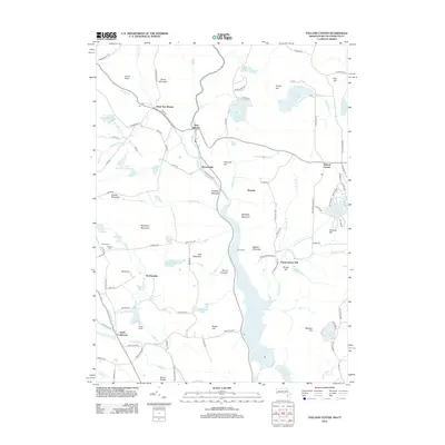
2012 Map of Tolland Center
USGS Topo · Published 2012About this map
West New Boston and New Boston sit along the upper reaches of the Clam River, marking a landscape defined by its complex hydrology and high-elevation terrain on the Massachusetts-Connecticut border. This 2012 survey illustrates the extensive water management systems of the region, anchored by the massive Colebrook River Lake and its northern extension, the West Branch Reservoir. These man-made bodies of water dominate the central valley, surrounded by significant peaks such as Mount Prospect, Burgess Mountain, and Hanging Mountain. To the west, the Clam River Watershed Reservoir and Pelton Reservoir further emphasize the area's role in regional water security. Local history is preserved in the scattered smaller settlements like Tolland Center and North Colebrook, as well as in smaller burial grounds like Roberts Cem and Dubois Cem. The geography is also home to recreational and youth organizations, evidenced by Camp Jewell near Lake Triangle and Camp Spruce Hill overlooking Victory Lake.
Find a feature on this map
111 named features on this map. Tap any name to fly to it.
Don’t see what you’re looking for? This feature index may not catch every label — zoom into the map to look around manually.
Map Details
Editions of this 2012 Tolland Center Map
This is the sole edition of this map. No revisions or reprints were ever made.
Other maps of this area

1887 · Granville
USGS Topo · 1:62,500

1888 · Sandisfield
USGS Topo · 1:62,500

1889 · Granville
USGS Topo · 1:62,500

1892 · Winsted
USGS Topo · 1:62,500

1892 · Granby
USGS Topo · 1:62,500

1893 · Granville
USGS Topo · 1:62,500

1893 · Sandisfield
USGS Topo · 1:62,500

1895 · Granville
USGS Topo · 1:62,500

1896 · Holyoke
USGS Topo · 1:125,000

1897 · Sandisfield
USGS Topo · 1:62,500