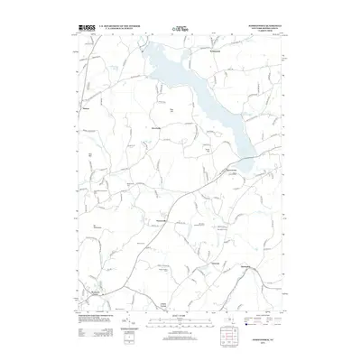
2013 Map of Tomhannock
USGS Topo · Published 2013About this map
The Tomhannock Reservoir dominates the landscape of this northern Rensselaer County survey, serving as a focal point for the surrounding rural communities. The map highlights a network of small hamlets and farmsteads, including Raymertown along the reservoir's eastern edge and Melrose to the west. Local genealogy is well-supported by the presence of Maplewood Cem and numerous family-named agricultural sites such as Bornt Family Farms, Tarbox Farms, and Herrington Farms.
Find a feature on this map
133 named features on this map. Tap any name to fly to it.
Don’t see what you’re looking for? This feature index may not catch every label — zoom into the map to look around manually.
Map Details
Editions of this 2013 Tomhannock Map
This is the sole edition of this map. No revisions or reprints were ever made.
Other maps of this area

1888 · Berlin
USGS Topo · 1:62,500

1890 · Berlin
USGS Topo · 1:62,500

1893 · Cohoes
USGS Topo · 1:62,500

1893 · Troy
USGS Topo · 1:62,500

1894 · Berlin
USGS Topo · 1:62,500

1895 · Troy
USGS Topo · 1:62,500

1895 · Cohoes
USGS Topo · 1:62,500

1897 · Hoosick
USGS Topo · 1:62,500

1898 · Berlin
USGS Topo · 1:62,500

1898 · Cohoes
USGS Topo · 1:62,500