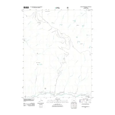
2011 Map of Toner Reservoir
USGS Topo · Published 2011About this map
Seven Castles stands as a prominent landmark in this mountain landscape, presiding over the southern reaches where the Fryingpan River flows. This 2011 survey documents a region defined by high-altitude plateaus like Red Table and a network of specialized routes, including the Red Table Logging Road and Taylor Creek Rd. The presence of Castle View Ranch and Cap-K-Ranch near the riverbanks suggests a legacy of high-country ranching, while Duffs Cabin and the Masonic Monument mark specific points of human activity and heritage within the wilderness.
Find a feature on this map
56 named features on this map. Tap any name to fly to it.
Don’t see what you’re looking for? This feature index may not catch every label — zoom into the map to look around manually.
Map Details
Editions of this 2011 Toner Reservoir Map
This is the sole edition of this map. No revisions or reprints were ever made.
Other maps of this area

1909 · Mount Jackson
USGS Topo · 1:125,000

1911 · Mount Jackson
USGS Topo · 1:125,000

1927 · Glenwood Springs
USGS Topo · 1:125,000

1930 · Glenwood Springs
USGS Topo · 1:125,000

1957 · Leadville
USGS Topo · 1:250,000

1959 · Leadville
USGS Topo · 1:250,000

1960 · Leadville
USGS Topo · 1:250,000

1961 · Leon
USGS Topo · 1:24,000

1961 · Basalt
USGS Topo · 1:24,000

1961 · Cottonwood Pass
USGS Topo · 1:24,000