
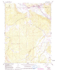
1961 Map of Basalt
USGS Topo · Published 1963About this map
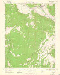
The Roaring Fork River and Fryingpan River converge at Basalt, anchoring a valley corridor defined by the Denver and Rio Grande Western Railroad. This 1961 survey documents a transition from industrial activity to spiritual and recreational land use, capturing the Kilns near the river junction and the St Benedict Monastery situated along Capitol Creek. Agricultural infrastructure is prominent throughout the valley, evidenced by the extensive Home Supply Ditch that skirts the northern slopes.
Find a feature on this map
27 named features on this map. Tap any name to fly to it.
Don’t see what you’re looking for? This feature index may not catch every label — zoom into the map to look around manually.
Map Details
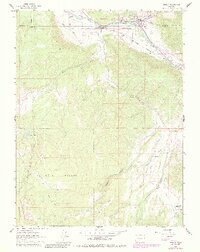
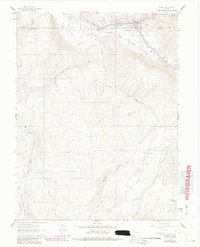
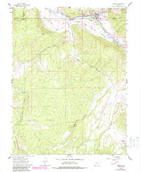
Editions of this 1961 Basalt Map
6 editions found
Other maps of this area

1893 · Aspen
USGS Topo · 1:62,500

1895 · Aspen
USGS Topo · 1:62,500

1909 · Mount Jackson
USGS Topo · 1:125,000

1911 · Mount Jackson
USGS Topo · 1:125,000

1957 · Leadville
USGS Topo · 1:250,000

1959 · Leadville
USGS Topo · 1:250,000

1960 · Leadville
USGS Topo · 1:250,000

1960 · Highland Peak
USGS Topo · 1:24,000

1960 · Capitol Peak
USGS Topo · 1:24,000

1960 · Redstone
USGS Topo · 1:24,000