
1895 Map of Aspen
USGS Topo · Published 1895About this map
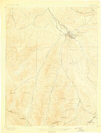
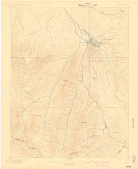
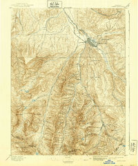
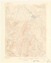
The silver-mining capital of Aspen is captured here during its late nineteenth-century industrial peak, appearing as a dense grid of streets surrounded by the essential infrastructure of the era. The Denver and Rio Grande R. R. and the A. T. and S. F. R. R. both terminate at the town's edge, highlighting the vital rail connections that moved ore from the mountains. This 1893 survey details the intense mineral extraction defining the Roaring Fork valley, from the Holden Works processing facility to remote operations like the Molly Gibson Mine and the Park Regent Mine.
Find a feature on this map
34 named features on this map. Tap any name to fly to it.
Don’t see what you’re looking for? This feature index may not catch every label — zoom into the map to look around manually.
Map Details
Editions of this 1895 Aspen Map
5 editions found
Other maps of this area

1888 · Crested Butte
USGS Topo · 1:62,500

1888 · Anthracite
USGS Topo · 1:62,500

1889 · Crested Butte
USGS Topo · 1:62,500

1889 · Anthracite
USGS Topo · 1:62,500

1893 · Anthracite
USGS Topo · 1:62,500

1893 · Crested Butte
USGS Topo · 1:62,500

1893 · Aspen
USGS Topo · 1:62,500

1894 · Anthracite
USGS Topo · 1:62,500

1909 · Mount Jackson
USGS Topo · 1:125,000

1911 · Mount Jackson
USGS Topo · 1:125,000